| Lechința Komlód-patak, Comlod | |
|---|---|
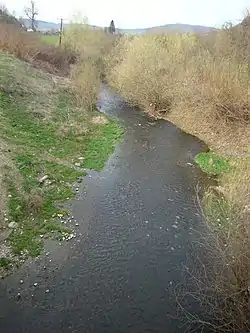 | |
.png.webp) Course of the Lechința. | |
 | |
| Location | |
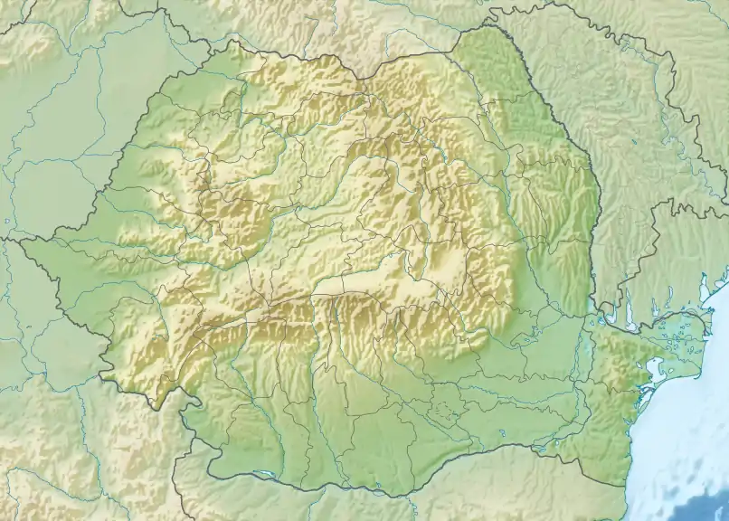
| Country | Romania |
| Counties | Bistrița-Năsăud, Mureș |
| Communes | Milaș, Crăiești, Râciu, Șincai, Band, Iclănzel, Iernut |
| Physical characteristics | |
| Source | |
| • elevation | 440 m (1,440 ft) |
| Mouth | Mureș |
• location | Lechința |
• coordinates | 46°28′25″N 24°12′41″E / 46.4736°N 24.2114°E |
| Length | 66 km (41 mi) |
| Basin size | 537 km2 (207 sq mi) |
| Basin features | |
| Progression | Mureș→ Tisza→ Danube→ Black Sea |
The Lechința or Comlod (Hungarian: Komlód-patak) is a right tributary of the river Mureș in Transylvania, Romania.[1][2] It discharges into the Mureș in the village Lechința, near Iernut.[3] Its length is 66 km (41 mi) and its basin size is 537 km2 (207 sq mi).[2] Its Hungarian name is from the “komló” for hops, so its name means “Hops Creek”.
Tributaries
The following rivers are tributaries to the river Lechința (from source to mouth):[2]
References
- ↑ "Planul național de management. Sinteza planurilor de management la nivel de bazine/spații hidrografice, anexa 7.1" (PDF, 5.1 MB). Administrația Națională Apele Române. 2010. p. 298.
- 1 2 3 Atlasul cadastrului apelor din România. Partea 1 (in Romanian). Bucharest: Ministerul Mediului. 1992. pp. 145–146. OCLC 895459847. River code: IV.1.74
- ↑ Lechinta / Comlod (jud. Bistrita Nasaud), e-calauza.ro
This article is issued from Wikipedia. The text is licensed under Creative Commons - Attribution - Sharealike. Additional terms may apply for the media files.