| Ile Lewotolok | |
|---|---|
 The 2020 eruption as captured by ESA Sentinel-2 on 29 November | |
| Highest point | |
| Elevation | 1,423 m (4,669 ft) |
| Coordinates | 8°16′19″S 123°30′18″E / 8.272°S 123.505°E |
| Geography | |
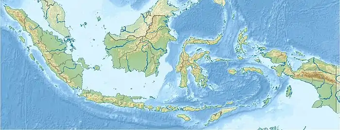
 Ile Lewotolok | |
| Geology | |
| Mountain type | Stratovolcano |
| Last eruption | 2021 |
Mount Ile Lewotolok or Lewotolo (Indonesian: Gunung Lewotolok[1]) is a stratovolcano in the north-central part of the island of Lembata in the Province of East Nusa Tenggara in Indonesia.
2020 eruptions
On 27 November, an eruption occurred at 5:57 a.m. local time (21:57 UTC), which generated an ash column that rose to an altitude 500 meters into the sky.[2] On 29 November, two days later, a major blast took place sending an ash column as high as 50000 ft (15.24 km) into the sky.[3] Volcanic bombs have an impact radius of about 2 km from the main crater.[4]
By Wednesday 2 December, it was reported that more than 5,500 people had been evacuated from their homes near the volcano. Residents on the slopes of Mt Ile Lewotolok had been warned of potential cold lava flows, especially during periods of heavy rain, and had been advised to remain outside of a 4-kilometer radius from the crater.[5]
See also
References
- ↑ Disaster mitigation site in Indonesian
- ↑ Murti, Markus Wisnu (27 November 2020). "Mount Ili Lewotolok in NTT Erupts, Safety Zone Set at 2 Km from Crater". Tempo. Archived from the original on 29 November 2020. Retrieved 29 November 2020.
- ↑ "Lewotolo Volcano Volcanic Ash Advisory: HIGH LEVELL ERRUPTION [sic] TO FL500 OBS VA DTG: 29/0250Z". www.volcanodiscovery.com. Retrieved 29 November 2020.
- ↑ "Lewotolo volcano (Lesser Sunda Islands, Indonesia): spectacular eruption". volcanodiscovery.com. 29 November 2020. Retrieved 30 November 2020.
- ↑ Djemi Amnifu and Nina Loasana, 'Over 4,600 residents evacuated after Ili Lewotolok eruption', The Jakarta Post, 30 November 2020 and Djemni Amnifu, 'More residents evacuated after volcano eruption in NTT', The Jakarta Post, 2 December 2020.