| Little Cedar River | |
|---|---|
 Mouth of the Little Cedar River | |
| Location | |
| Country | United States |
| State | Minnesota, Iowa |
| County | Mower County, Minnesota, Iowa: Chickasaw, Floyd, Mitchell |
| Physical characteristics | |
| Source | |
| • location | Brownsdale, Mower County, Minnesota |
| • coordinates | 43°39′16″N 92°45′22″W / 43.65444°N 92.75611°W |
| Mouth | Cedar River in Iowa |
• location | Nashua, Iowa |
• coordinates | 42°57′02″N 92°31′39″W / 42.95056°N 92.52750°W |
• elevation | 951 ft (290 m)[1] |
| Length | 82.4-mile-long (132.6 km) |
| Discharge | |
| • location | Ionia, Iowa |
| • average | 217 cu/ft. per sec.[2] |
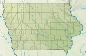
The Little Cedar River is an 82.4-mile-long (132.6 km)[3] river of Iowa and Minnesota.[1]
The Little Cedar rises in Mower County, Minnesota, and flows primarily south into Iowa, emptying into the Cedar River.[1]
See also
References
- 1 2 3 "Little Cedar River". Geographic Names Information System. United States Geological Survey, United States Department of the Interior.
- ↑ "Little Cedar River". USGS Water Data.
- ↑ U.S. Geological Survey. National Hydrography Dataset high-resolution flowline data. The National Map Archived 2012-03-29 at the Wayback Machine, accessed May 13, 2011
External links
This article is issued from Wikipedia. The text is licensed under Creative Commons - Attribution - Sharealike. Additional terms may apply for the media files.