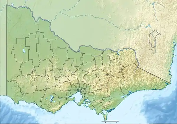
| Little | |
|---|---|
| Location | |
| Country | Australia |
| State | Victoria |
| Region | South East Corner (IBRA), East Gippsland |
| LGA | Shire of East Gippsland |
| Town | Bemm River (town) |
| Physical characteristics | |
| Source | Mount Cann |
| • location | St George Plain Flora Reserve |
| • elevation | 108 m (354 ft) |
| Mouth | Sydenham Inlet, Bass Strait |
• location | Cape Conran Coastal Park |
• coordinates | 37°45′23″S 148°59′55″E / 37.75639°S 148.99861°E |
• elevation | 0 m (0 ft) |
| Length | 16 km (9.9 mi) |
| Basin features | |
| River system | Bemm River catchment |
| Tributaries | |
| • right | Mountain Creek (East Gippsland) |
| National park | Cape Conran CP |
| [1][2] | |
The Little River is a perennial river of the Bemm River catchment, located in the East Gippsland region of the Australian state of Victoria.
Course and features
The Little River rises below near Mount Cann, in the St George Plain Flora Reserve. The river flows generally south, through the Cape Conran Coastal Park, joined by one minor tributary, before reaching its mouth with Bass Strait via Sydenham Inlet in the Shire of East Gippsland, near the settlement of Bemm River. The river descends 106 metres (348 ft) over its 16-kilometre (9.9 mi) course.[2]
The Little River sub-catchment area is managed by the East Gippsland Catchment Management Authority.
See also
References
- ↑ "Little River: 19691". Vicnames. Government of Victoria. 2 May 1966. Archived from the original on 12 January 2014. Retrieved 11 January 2014.
- 1 2 "Map of Little River, VIC". Bonzle Digital Atlas of Australia. Retrieved 11 January 2014.
External links
- "Bemm River sub-catchment". East Gippsland Catchment Management Authority. Government of Victoria.
- "Bemm River - Catchment Map" (map). East Gippsland Catchment Management Authority. Government of Victoria.
- East Gippsland Catchment Management Authority (2013). East Gippsland regional catchment strategy 2013 -2019 (PDF). Bairnsdale: East Gippsland Catchment Management Authority. ISBN 978-0-9758164-6-2. Archived from the original (PDF) on 14 January 2014. Retrieved 13 January 2014.
This article is issued from Wikipedia. The text is licensed under Creative Commons - Attribution - Sharealike. Additional terms may apply for the media files.
