| Willow River | |
|---|---|
 Mouth of the Willow River | |
| Location | |
| Country | United States |
| State | Minnesota |
| County | Pine County |
| Physical characteristics | |
| Source | |
| • coordinates | 46°21′54″N 92°28′26″W / 46.3649439°N 92.4738062°W |
| Mouth | |
• coordinates | 46°19′11″N 92°50′48″W / 46.3197°N 92.8466°W |
| Length | 31.4 mi-long (50.5 km) |
| Basin features | |
| River system | Kettle River |
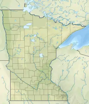
The Willow River is a 31.4-mile-long (50.5 km)[1] tributary of the Kettle River in eastern Minnesota in the United States. It is one of three rivers by that name in Minnesota. Via the Kettle and St. Croix rivers, it is part of the watershed of the Mississippi River.[2]
Description
The Willow River flows for its entire length in northern Pine County. It rises in the Nemadji State Forest in Nickerson Township and flows generally westwardly through Kerrick, Windemere, Norman and Kettle River townships, past Duquette. In Windemere Township it collects the Little Willow River, which rises at the town of Kerrick and flows 9.7 miles (15.6 km)[1] through Bruno and Norman townships. The Willow joins the Kettle River at the town of Willow River.[3]
See also
References
- 1 2 "National Hydrography Dataset high-resolution flowline data". U.S. Geological Survey. Retrieved October 5, 2012.
- ↑ U.S. Geological Survey Geographic Names Information System: Willow River
- ↑ U.S. Geological Survey Geographic Names Information System: Little Willow River
This article is issued from Wikipedia. The text is licensed under Creative Commons - Attribution - Sharealike. Additional terms may apply for the media files.