Loralai
| |
|---|---|
 City of Loralai | |
 Loralai  Loralai | |
| Coordinates: 30°22′N 68°36′E / 30.367°N 68.600°E | |
| Country | |
| Province | |
| Elevation | 1,411 m (4,629 ft) |
| Time zone | UTC+5 (PST) |
| Postal code | 84800 |
| Calling code | 824 |
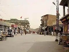
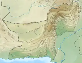
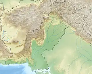
Loralai (Pashto: لورلايي, Urdu: لورالائی), also known as Bori (Pashto: بورۍ), is the division headquarter of Loralai Division and district headquarter of Loralai District. It is in the northeastern part of Balochistan province in Pakistan. It is 4,700 feet (1,400 m) above sea level.
Demography
| Religious group |
1941[1]: 13–14 | 2017[2][3] | ||
|---|---|---|---|---|
| Pop. | % | Pop. | % | |
| Islam |
2,327 | 45.67% | 53,777 | 98.05% |
| Hinduism |
1,536 | 30.15% | 526 | 0.96% |
| Sikhism |
1,116 | 21.9% | — | — |
| Christianity |
116 | 2.28% | 498 | 0.91% |
| Ahmadiyya |
— | — | 4 | 0.01% |
| Others | 0 | 0% | 44 | 0.08% |
| Total population | 5,095 | 100% | 54,849 | 100% |
Notable people
- Raaj Kumar, Bollywood actor[4]
Locations
.jpg.webp) 16th century Mughal fort "Mughal qila" in Loralai
16th century Mughal fort "Mughal qila" in Loralai View near Loralai
.jpg.webp) View of Chinjan, about 40km northwest of Loralai
View of Chinjan, about 40km northwest of Loralai Khardazai, Loralai
See also
Notes
References
- 1 2 "CENSUS OF INDIA, 1941 VOLUME XIV BALUCHISTAN". Retrieved 27 January 2023.
- ↑ "Final Results (Census-2017)". Retrieved 27 January 2023.
- ↑ "District Wise Results / Tables (Census - 2017) TABLE 9 - POPULATION BY SEX, RELIGION AND RURAL/URBAN" (PDF). Retrieved 27 January 2023.
- ↑ "Purru Raaj Kumar: Dad was Bizzare [sic] But Never Boring". iDiva.com. 21 February 2013. Archived from the original on 10 March 2014. Retrieved 10 March 2014.
External links
This article is issued from Wikipedia. The text is licensed under Creative Commons - Attribution - Sharealike. Additional terms may apply for the media files.