| Mount Zulia | |
|---|---|
 Mount Zulia | |
| Highest point | |
| Elevation | 2,149 m (7,051 ft)[1] |
| Coordinates | 4°07′26″N 33°59′04″E / 4.124°N 33.9845°E[1] |
| Geography | |
| Country | Uganda |
| Region | Karamoja |
| Protected area | Kidepo Valley National Park |
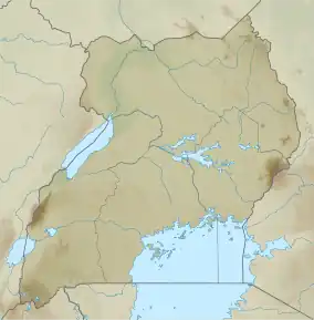
Mount Zulia (or Lotholia) is in the Karamoja region in the north-east of Uganda in the Kidepo Valley National Park. Mount Morungole and the Labwor and Dodoth Hills, which reach heights in excess of 2,000 metres (6,600 ft), are nearby.[2] Mount Zulia is 2,149 metres (7,051 ft) high.[1]
The Toposa people of Eastern Equatoria say that they originated in the Lotholia Mountains, moving away during a severe drought that killed both people and animals.[3] The forests of the mountain are partly protected by the Mount Zulia Forest Reserve.[4]
References
- 1 2 3 "Topographic map of Mount Zulia". opentopomap.org. Retrieved 2023-04-02.
- ↑ Braun, Eric (2006). Uganda in Pictures. Twenty-First Century Books. p. 10. ISBN 0-8225-2397-3.
- ↑ "Toposa". Gurtong. Archived from the original on 18 September 2011. Retrieved 24 July 2011.
- ↑ Bakama B Bakamanume, ed. (2011). A Contemporary Geography of Uganda. African Books Collective. p. 68. ISBN 978-9987-08-036-6.
This article is issued from Wikipedia. The text is licensed under Creative Commons - Attribution - Sharealike. Additional terms may apply for the media files.