Mangalam | |
|---|---|
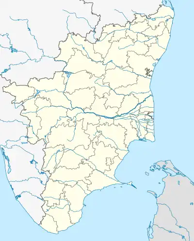 Mangalam Location in Tamil Nadu, India  Mangalam Mangalam (India) | |
| Coordinates: 11°05′42″N 77°15′58″E / 11.095°N 77.266°E | |
| Country | |
| State | Tamil Nadu |
| District | Tiruppur |
| Elevation | 32 m (105 ft) |
| Population (2001) | |
| • Total | 7,892 |
| Languages | |
| • Official | Tamil |
| Time zone | UTC+5:30 (IST) |
Mangalam is a census town in Tiruppur district in the Indian state of Tamil Nadu.
Geography
Mangalam is located at 11°05′42″N 77°15′58″E / 11.095°N 77.266°E.[1] It has an average elevation of 32 metres (104 feet). It is located 1 kilometer toward the South from District headquarters Tirupur. Mangalam is surrounded by Avanashi Taluk towards North Uttkkuli, Taluk towards East.
Neighborhoods
- Avinashi
- Tiruppur
- Vaazhaithottathu Ayyankoil
- Samalapuram
- Somanur
- Karumathampatti
- Karuvampalayam
- Sultanpet
- Palladam
- Agrahaarapudhur
- Velayuthampalayam
- Andipalayam
- Karanampettai
Demographics
According to the 2001 Census of India,[2] Mangalam, Tamil Nadu had a population of 7,892. Males constituted 51% of the population and females 49%. Mangalam had an average literacy rate of 67%, higher than the national average of 59.5%; male literacy was 76%, and female literacy was 59%. In Mangalam, 13% of the population was under 6 years of age. Mangalam was the first village to have 100% financial inclusion, where all households of this village were able to participate in banking.
References
- ↑ Falling Rain Genomics, Inc - Mangalam
- ↑ "Census of India 2001: Data from the 2001 Census, including cities, villages and towns (Provisional)". Census Commission of India. Archived from the original on 16 June 2004. Retrieved 1 November 2008.