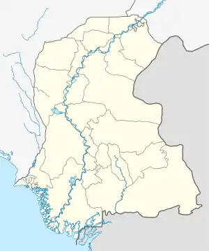
Manjhand
مانجهند | |
|---|---|
Town | |
| Manjhand Taluko | |
 Manjhand 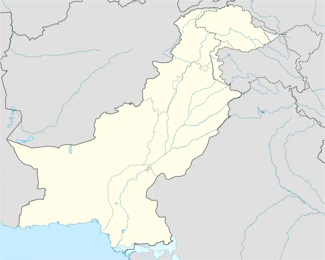 Manjhand | |
| Coordinates: 25°54′30″N 68°14′09″E / 25.90833°N 68.23583°E | |
| Country | |
| Province | |
| Division | Hyderabad |
| District | Jamshoro |
| Area | |
| • Total | 2,303 km2 (889 sq mi) |
| Population | |
| • Total | 140,766 |
| • Density | 61.12/km2 (158.3/sq mi) |
| Time zone | UTC+5 (PST) |
Manjhand (Sindhi:مانجهند) is a town in Jamshoro District, Sindh, Pakistan. Manjhand town has the status of Taluka of Jamshoro District and town committee.[2] The Manjhand railway station is close to Manjhand town.[3]
Demographics
According to the 2017 Pakistani census results, Manjhand had a population of 140,766, of which 73,297 were males, 67,464 were females & 5 represented the Transgender population. The rural population was 84.94% & urban population was 15.05%.[4]
Language
According to the final results of the 2017 Pakistani census, 96.15% of the population spoke Sindhi, 1.86% Pashto, 1.01% Balochi and 0.28% Seraiki as their first language. Other languages, including Kashmiri, Hindko, Urdu, Punjabi and Brahui, made up 0.7% of the population.[5]
Religion
The majority religion is Islam, with 97.01% of the population. Hinduism is practised by 2.89%, while other faiths are practised by 0.1% of the population.[6]
Religious attraction
Manjhand is home to Gobindram Darbar, a religious site, locally known as the Shiva Temple.[7]

List of Dehs
- Manjhand Taluka has 50 Dehs:[8]
- Abad
- Amri
- Badhpur
- Belo Unerpur
- Bhacha
- Bhadar
- Bhambhara
- Bhiyan
- Bhorawah
- Bug
- Butho
- Chachhar
- Dabhi
- Dabhri
- Dumb
- Elchi
- Gaincha
- Givari
- Gor Had
- Jhalo
- Kachi
- Kandher
- Karahi
- Kastor
- Khakoor
- Khasai
- Kheraji
- Khuman
- Korejani
- Kubi
- Kun
- Lakha
- Lakhri
- Laki
- Lellan
- Manjhand
- Meeting
- Nea Jetharo
- Noorpur
- Ocho
- Rajri
- Rio Katcho Unerpur
- Sann
- Shoorki
- Tangyani
- Thatti
- Thebat
- Unerpur
- Wachharo
- Wadi Behani
References
- ↑ Census of Pakistan 2017 (PDF).
- ↑ Provincial Census Report Sindh (PDF). 2017.
- ↑ "Memories of Manjhand". 15 September 2013.
- ↑ Urban Rural - 2017 Pakistani Census (PDF).
- ↑ Population by mother tongue - Census of Pakistan 2017 (PDF).
- ↑ Population by religion - Census of Pakistan 2017 (PDF).
- ↑ Kingrani, Aziz. The Hindu Temple or Derbaar Manjhand, Sindh, Pakistan.
- ↑ List of Dehs in Sindh (PDF).