Mara | |
|---|---|
| Comune di Mara | |
.jpg.webp) | |
-Stemma.png.webp) Coat of arms | |
Location of Mara | |
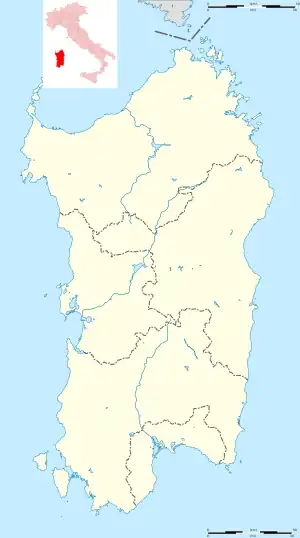
 Mara Location of Mara in Sardinia  Mara Mara (Sardinia) | |
| Coordinates: 40°25′N 8°38′E / 40.417°N 8.633°E | |
| Country | Italy |
| Region | Sardinia |
| Province | Sassari (SS) |
| Government | |
| • Mayor | Salvatore Ligios |
| Area | |
| • Total | 18.9 km2 (7.3 sq mi) |
| Elevation | 258 m (846 ft) |
| Population (2018-01-01)[2] | |
| • Total | 808 |
| • Density | 43/km2 (110/sq mi) |
| Demonym | Maresi |
| Time zone | UTC+1 (CET) |
| • Summer (DST) | UTC+2 (CEST) |
| Postal code | 07010 |
| Dialing code | 079 |
| Patron saint | St. John the Baptist |
| Saint day | 24 June |
Mara is a comune (municipality) in the Province of Sassari in the Italian region Sardinia, located about 140 kilometres (87 mi) northwest of Cagliari and about 35 kilometres (22 mi) south of Sassari.
Mara borders the following municipalities: Cossoine, Padria, Pozzomaggiore.
Monuments and places of interest
Religious buildings
- Sanctuary of Our Lady of Bonu Ighinu
- Church of Saint John
- Church of Saint Cross
Caves
- Cave of Sa Ucca de su Tintirriolu
- Cave of Filiestru
References
Wikimedia Commons has media related to Mara (Italy).
- ↑ "Superficie di Comuni Province e Regioni italiane al 9 ottobre 2011". Italian National Institute of Statistics. Retrieved 16 March 2019.
- ↑ All demographics and other statistics: Italian statistical instituteIstat.
This article is issued from Wikipedia. The text is licensed under Creative Commons - Attribution - Sharealike. Additional terms may apply for the media files.
