| Maravillas Creek | |
|---|---|
  | |
| Etymology | Spanish for wonders, marvels |
| Location | |
| Country | United States |
| States | Texas |
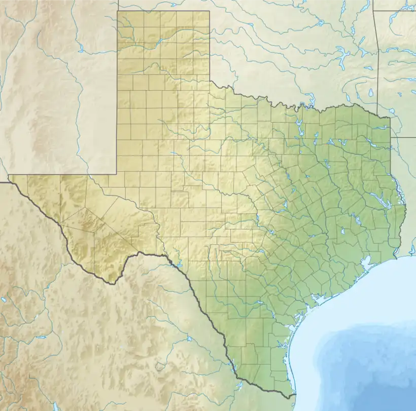
| Counties | Brewster |
| Physical characteristics | |
| Source | Del Norte Mountains |
| • location | between Alpine and Marathon |
| • coordinates | 30°13′56″N 103°28′34″W / 30.23222°N 103.47611°W |
| Mouth | Rio Grande |
• location | Black Gap WMA |
• coordinates | 29°33′45″N 102°46′44″W / 29.56250°N 102.77889°W |
| Length | 90 miles (140 km) |
| Basin features | |
| River system | Rio Grande Basin |
| Bridges | US 385 |
Maravillas Creek is a river in Texas. It is a tributary of the Rio Grande.
See also
References
- "An Analysis of Texas Waterways". Retrieved 2006-05-04.
- U.S. Geological Survey Geographic Names Information System: Maravillas Creek
- USGS Hydrologic Unit Map - State of Texas (1974)
External links
- Maravillas Creek from the Handbook of Texas Online
This article is issued from Wikipedia. The text is licensed under Creative Commons - Attribution - Sharealike. Additional terms may apply for the media files.