Ryerson | |
|---|---|
| Township of Ryerson | |
 | |
 Ryerson | |
| Coordinates: 45°35′13″N 79°30′40″W / 45.58694°N 79.51111°W | |
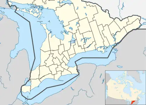
| Country | Canada |
| Province | Ontario |
| District | Parry Sound |
| Settled | 1870s |
| Incorporated | 1880 |
| Government | |
| • Type | Township |
| • Reeve | George Sterling |
| • Federal riding | Parry Sound-Muskoka |
| • Prov. riding | Parry Sound—Muskoka |
| Area | |
| • Land | 185.93 km2 (71.79 sq mi) |
| Population (2021)[2] | |
| • Total | 745 |
| Time zone | UTC-5 (EST) |
| • Summer (DST) | UTC-4 (EDT) |
| Postal Code | P0A |
| Area code(s) | 705, 249 |
| Website | ryersontownship.ca |
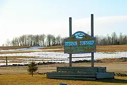
Ryerson is an incorporated township in the Almaguin Highlands region of Parry Sound District in northeastern Ontario, Canada. It had a population of 745 in the 2021 Canadian census. It was named after Egerton Ryerson, the Chief Superintendent of Education for Ontario from 1844 to 1876.
Demographics
| Year | Pop. | ±% |
|---|---|---|
| 1991 | 625 | — |
| 1996 | 676 | +8.2% |
| 2001 | 632 | −6.5% |
| 2006 | 686 | +8.5% |
| 2011 | 634 | −7.6% |
| 2016 | 648 | +2.2% |
| 2021 | 745 | +15.0% |
| [3][1][4] | ||
In the 2021 Census of Population conducted by Statistics Canada, Ryerson had a population of 745 living in 344 of its 555 total private dwellings, a change of 15% from its 2016 population of 648. With a land area of 185.93 km2 (71.79 sq mi), it had a population density of 4.0/km2 (10.4/sq mi) in 2021.[5]
Mother tongue:[6]
- English as first language: 94.9%
- French as first language: 1.5%
- English and French as first language: 0%
- Other as first language: 3.6%
Communities
- Doe Lake
- Midlothian
- Rockwynn
- Starratt
- Wisemans Corners
Municipal office
See also
References
- 1 2 Statistics Canada 2011 Census - Ryerson Census Profile
- ↑ "Census Profile, 2021 Census: Ryerson, Township". Statistics Canada. Retrieved February 9, 2022.
- ↑ Statistics Canada: 1996, 2001, 2006, 2011, 2016
- ↑ "Census Profile, 2016 Census: Ryerson, Township". Statistics Canada. 8 February 2017. Retrieved June 26, 2019.
- ↑ "Population and dwelling counts: Canada, provinces and territories, census divisions and census subdivisions (municipalities), Ontario". Statistics Canada. February 9, 2022. Retrieved April 2, 2022.
- ↑ "2006 Ryerson community profile". 13 March 2007.
- "Ryerson". Geographical Names Data Base. Natural Resources Canada. Retrieved 2011-07-06.
External links
Places adjacent to Ryerson, Ontario | |
|---|---|
| Towns |  | |
|---|---|---|
| Townships | ||
| Villages | ||
| First Nations | ||
| Indian reserves | ||
| Local services boards | ||
| Unorganized areas | ||
| ||
This article is issued from Wikipedia. The text is licensed under Creative Commons - Attribution - Sharealike. Additional terms may apply for the media files.