Mokronoge
Мокроноге | |
|---|---|
Village | |
 | |
 Mokronoge | |
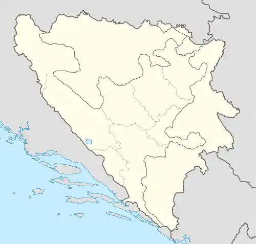
| Coordinates: 44°20′38″N 16°27′30″E / 44.34389°N 16.45833°E | |
| Country | Bosnia and Herzegovina |
| Entity | Federation of Bosnia and Herzegovina |
| Canton | Canton 10 |
| Municipality | Drvar |
| Area | |
| • Total | 23.50 km2 (9.07 sq mi) |
| Population (2013) | |
| • Total | 298 |
| • Density | 13/km2 (33/sq mi) |
| Time zone | UTC+1 (CET) |
| • Summer (DST) | UTC+2 (CEST) |
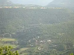
Mokronoge (Serbian Cyrillic: Мокроноге) is a village in the Municipality of Drvar, Canton 10 of the Federation of Bosnia and Herzegovina, an entity of Bosnia and Herzegovina.
Demographics
According to the 2013 census, its population was 298.[1]
| Ethnicity | Number | Percentage |
|---|---|---|
| Serbs | 296 | 99.3% |
| Croats | 1 | 0.3% |
| other/undeclared | 1 | 0.3% |
| Total | 298 | 100% |
Footnotes
Bibliography
- Ethnicity/National Affiliation, Religion and Mother Tongue (PDF). Sarajevo: Agency for Statistics of Bosnia and Herzegovina. 2019.
Wikimedia Commons has media related to Mokronoge, Drvar.
This article is issued from Wikipedia. The text is licensed under Creative Commons - Attribution - Sharealike. Additional terms may apply for the media files.