| Monte Chiadenis | |
|---|---|
 Monte Chiadenis seen from north. | |
| Highest point | |
| Elevation | 2,459 m (8,068 ft) |
| Coordinates | 46°37′37″N 12°43′41″E / 46.62694°N 12.72806°E |
| Geography | |
 Monte Chiadenis | |
| Parent range | Carnic Alps |
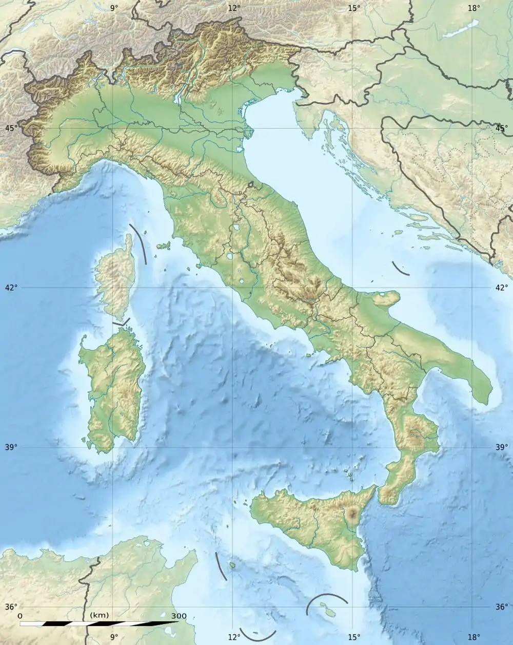
Monte Chiadenis (Friulian: Cjadenis) is a peak in the Carnic Alps, northern Italy, located between the comuni of Sappada and Forni Avoltri. It has an altitude of 2,459 m (8,068 ft).
During World War I (1915–1917) it was the site of fierce fighting between Italian alpini and Austrian Kaiserjäger.
In Friulian language cjadenis means "chains".
See also
This article is issued from Wikipedia. The text is licensed under Creative Commons - Attribution - Sharealike. Additional terms may apply for the media files.