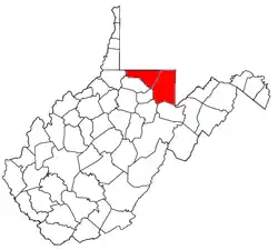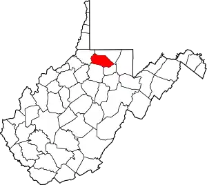
The Morgantown Metropolitan Statistical Area, as defined by the United States Census Bureau, is an area consisting of two counties in North-Central West Virginia, anchored by the city of Morgantown. As of the 2020 census, the MSA had a population of 140,038.[1] The MSA is part of the larger Morgantown–Fairmont Combined Statistical Area.
Counties
| County | 2020 Census | 2010 Census | Change |
|---|---|---|---|
| Monongalia County | 105,822 | 96,189 | +10.01% |
| Preston County | 34,216 | 33,520 | +2.08% |
| Total | 140,038 | 129,709 | +7.96% |
Communities
Incorporated places and CDPs
- Places with more than 30,000 inhabitants
- Morgantown (Principal city)

- Places with 5,000 to 10,000 inhabitants
- Cheat Lake (census-designated place)
- Brookhaven (census-designated place)
- Places with 1,000 to 5,000 inhabitants
- Places with 500 to 1,000 inhabitants
- Places with fewer than 500 inhabitants
Unincorporated places
Demographics
| Census | Pop. | Note | %± |
|---|---|---|---|
| 1970 | 89,169 | — | |
| 1980 | 105,484 | 18.3% | |
| 1990 | 104,546 | −0.9% | |
| 2000 | 111,200 | 6.4% | |
| 2010 | 129,709 | 16.6% | |
| 2020 | 140,038 | 8.0% | |
| U.S. Decennial Census[2][3][4] | |||
As of the census[5] of 2000, there were 111,200 people, 44,990 households, and 26,852 families residing within the MSA. The racial makeup of the MSA was 93.97% White, 2.56% African American, 0.17% Native American, 1.85% Asian, 0.04% Pacific Islander, 0.25% from other races, and 1.16% from two or more races. Hispanic or Latino of any race were 0.89% of the population.
The median income for a household in the MSA was $28,276, and the median income for a family was $38,266. Males had a median income of $29,777 versus $20,867 for females. The per capita income for the MSA was $15,351.

Combined Statistical Area
The Morgantown MSA is combined with the Fairmont μSA to form the Morgantown-Fairmont Combined Statistical Area (CSA), which had a population of 186,127 at the 2010 census. In addition to the two counties of the Morgantown MSA, the CSA comprises the city of Fairmont (2020 population 18,313) and the rest of Marion County, which lies to the west of the counties of the Morgantown MSA.
See also
References
- ↑ "U.S. Census website". United States Census Bureau. Retrieved 2022-12-02.
- ↑ United States Census Bureau. "Census of Population and Housing". Retrieved June 7, 2016.
- ↑ https://www.census.gov/quickfacts/table/PST045215/54077,54061
- ↑ https://www.census.gov/prod/cen2010/cph-2-50.pdf
- ↑ "U.S. Census website". United States Census Bureau. Retrieved 2008-01-31.