| Mount Kuma | |
|---|---|
| 熊ヶ岳 | |
| Highest point | |
| Elevation | 2,210 m (7,250 ft) |
| Prominence | 136 m (446 ft) |
| Parent peak | Mount Asahi |
| Listing | List of mountains and hills of Japan by height |
| Coordinates | 43°40′14″N 142°51′43″E / 43.67056°N 142.86194°E |
| Naming | |
| English translation | mountain of bears |
| Language of name | Japanese |
| Pronunciation | [ku͍maɡadake] |
| Geography | |
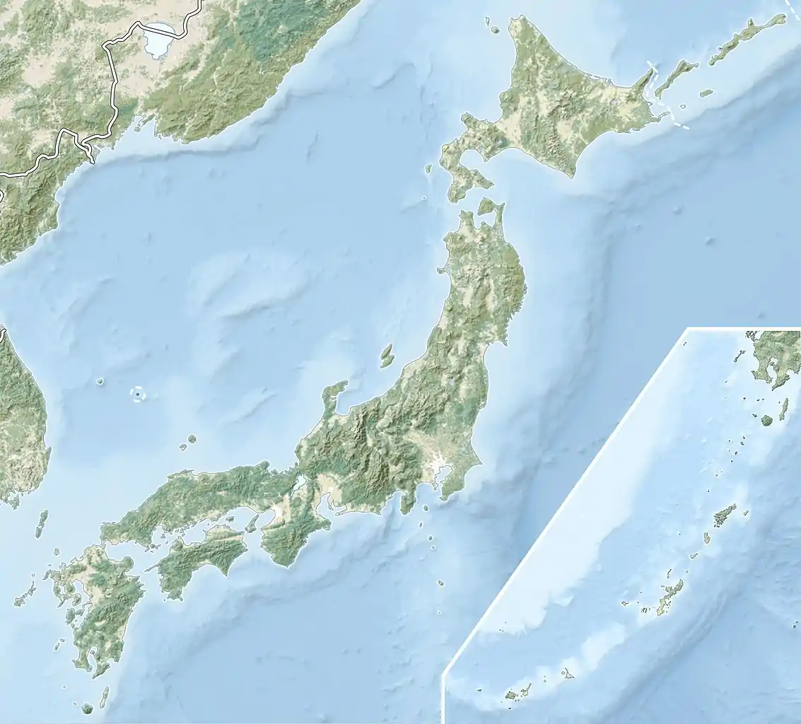
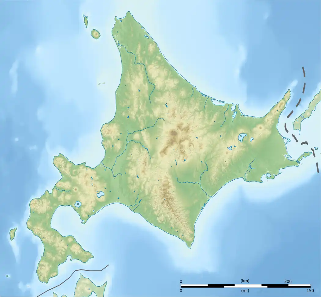
| Location | Hokkaidō, Japan |
| Parent range | Daisetsuzan Volcanic Group |
| Topo map | Geographical Survey Institute 25000:1 旭岳 25000:1 愛山溪温泉 25000:1 層雲峡 25000:1 白雲岳 50000:1 旭岳 50000:1 大雪山 |
| Geology | |
| Mountain type | stratovolcano |
| Volcanic arc/belt | Kurile arc |
Mount Kuma (熊ヶ岳, Kuma-ga-dake), or Mount Kumaga, is a stratovolcano located in the Daisetsuzan Volcanic Group of the Ishikari Mountains, Hokkaidō, Japan.
See also
References
- Geographical Survey Institute
- Synonyms and Subfeatures of Daisetsu, Global Volcanism Program, Smithsonian National Museum of Natural History, last access 10 July 2008.
This article is issued from Wikipedia. The text is licensed under Creative Commons - Attribution - Sharealike. Additional terms may apply for the media files.

