| Mount Mikuni | |
|---|---|
| 三国山 | |
| Highest point | |
| Elevation | 1,541.4 m (5,057 ft) |
| Listing | List of mountains and hills of Japan by height |
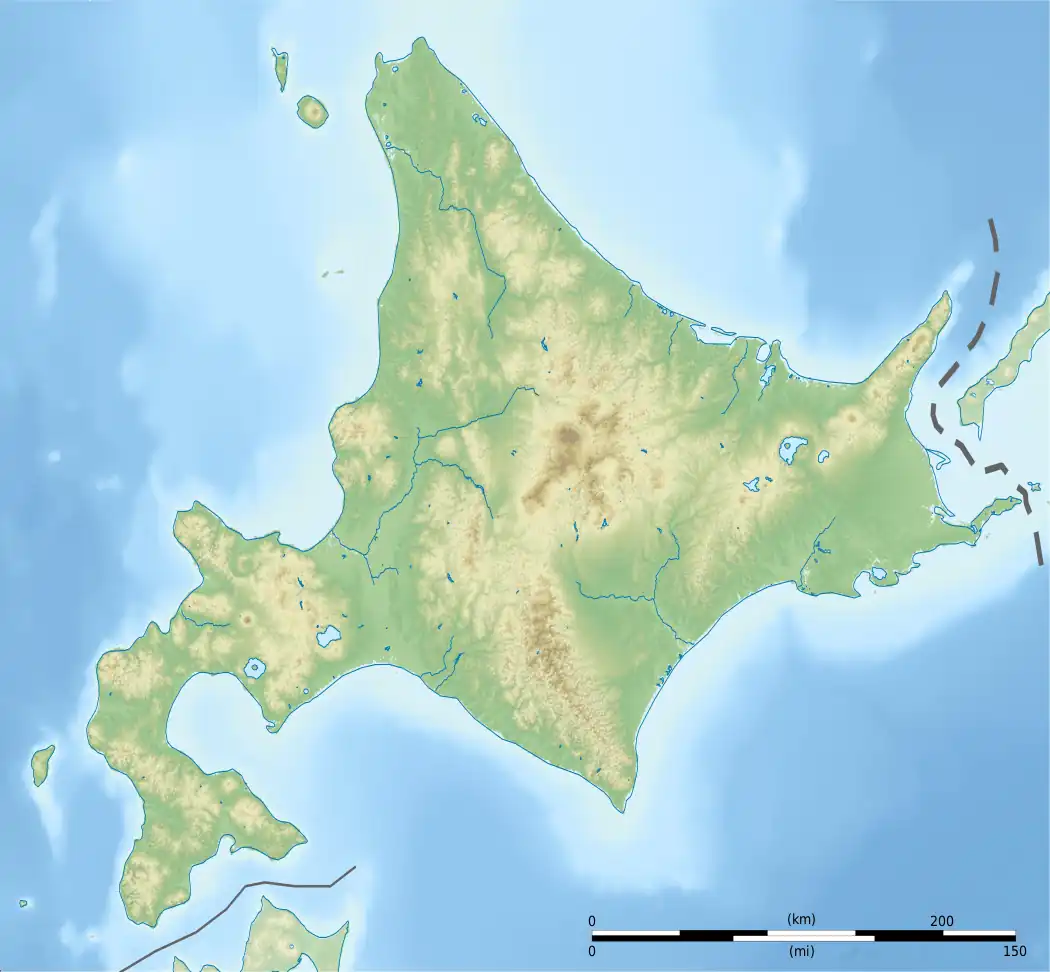
| Coordinates | 43°35′43″N 143°8′47″E / 43.59528°N 143.14639°E |
| Geography | |
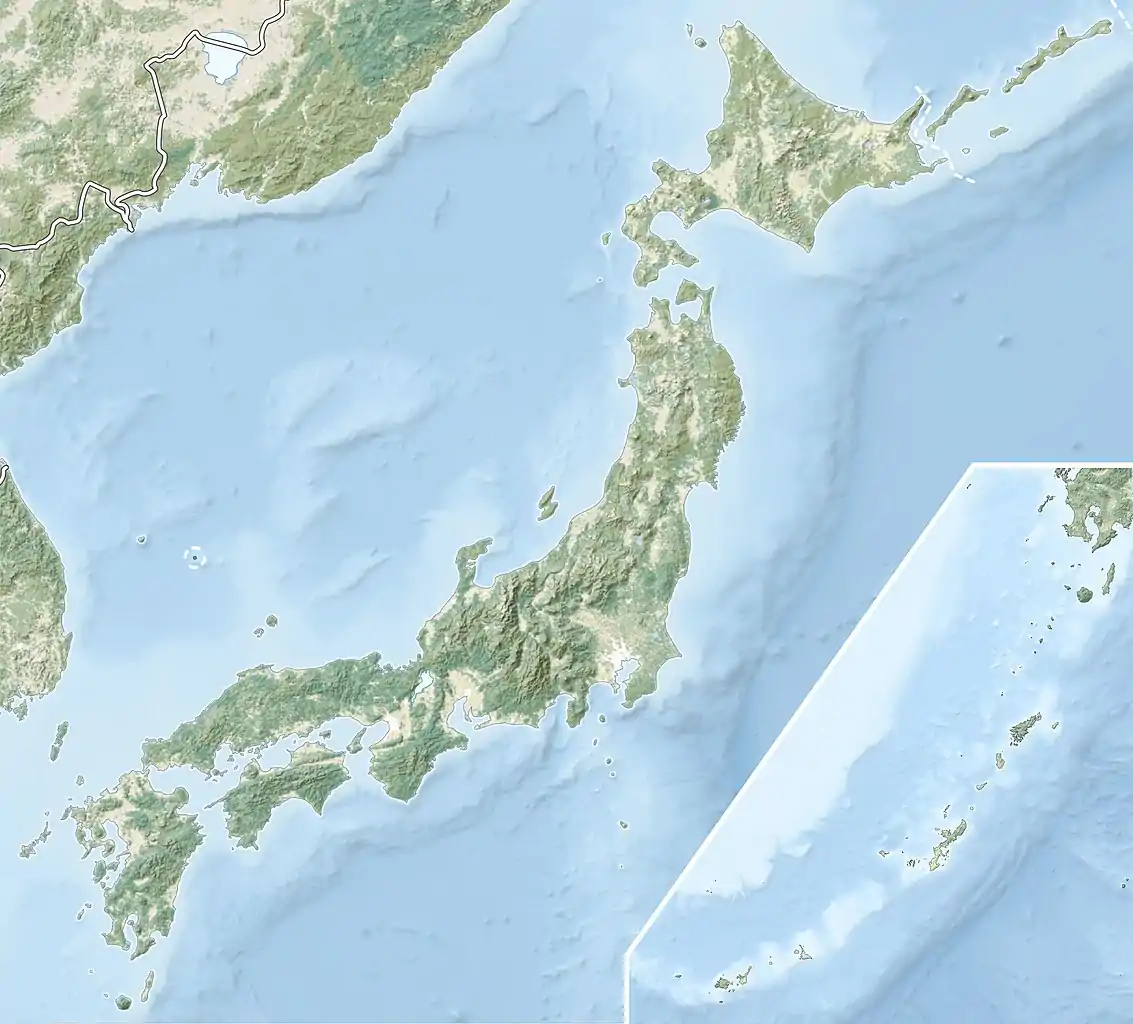
| Location | Hokkaidō, Japan |
| Parent range | Central Ishikari Mountains |
| Topo map | Geographical Survey Institute 25000:1 石北峠 50000:1 石狩岳 |
| Geology | |
| Age of rock | Middle-Late Miocene |
| Mountain type | Volcanic |
| Volcanic arc/belt | Kurile Arc |
Mount Mikuni (三国山, Mikuni-san) is part of the Ishikari Mountains, Hokkaidō, Japan.
References
- Hokkaido, Seamless Digital Geographical Map of Japan, Geological Survey of Japan, AIST (ed.). 2007.
This article is issued from Wikipedia. The text is licensed under Creative Commons - Attribution - Sharealike. Additional terms may apply for the media files.