| Mount Sisa | |
|---|---|
 Mount Sisa | |
| Highest point | |
| Elevation | 2,650 m (8,690 ft)[1] |
| Coordinates | 6°08′52″S 142°45′17″E / 6.14764°S 142.75463°E[2] |
| Geography | |
| Country | Papua New Guinea |
| Province | Hela |
| Geology | |
| Age of rock | Pleistocene |
| Mountain type | Stratovolcano |
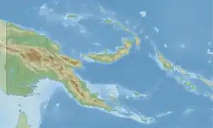
Mt. Sisa is a heavily eroded Pleistocene stratovolcano in Hela, Papua New Guinea. The taller of the mountain's two main peaks is estimated to be 2,650 metres (8,690 ft) high.[1] The northern peak has a communications mast. The epicentre of the 2018 Papua New Guinea earthquake was on the mountain's northern foothills.[3]
A tiny species of frogs, Choerophryne allisoni, is only known from its type locality on Mount Sisa.[4]
See also
References
- 1 2 "Sisa". Global Volcanism Program. Smithsonian Institution. Retrieved 2021-06-25.
- ↑ "Topographic map of Mount Sisa". opentopomap.org. Retrieved 2023-06-18.
- ↑ "M 7.5 - 89km SSW of Porgera, Papua New Guinea". earthquake.usgs.gov. Retrieved 2018-02-28.
- ↑ Frost, Darrel R. (2019). "Choerophryne allisoni Richards and Burton, 2003". Amphibian Species of the World: an Online Reference. Version 6.0. American Museum of Natural History. Retrieved 2019-06-17.
This article is issued from Wikipedia. The text is licensed under Creative Commons - Attribution - Sharealike. Additional terms may apply for the media files.