Nagalama | |
|---|---|
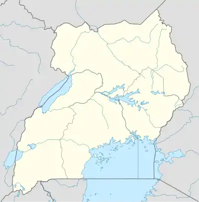
 Nagalama Map of Uganda showing the location of Nagalama. | |
| Coordinates: 00°30′54″N 32°46′12″E / 0.51500°N 32.77000°E | |
| Country | |
| Region | Central Region, Uganda |
| District | Mukono District |
| Elevation | 1,180 m (3,870 ft) |
| Time zone | UTC+3 (EAT) |
Nagalama, whose correct phonetic spelling is Naggalama is a town in Uganda's Central Region.
Location
Nagalama is located in Mukono District, on the Kalagi-Kayunga Road, approximately 6 kilometres (3.7 mi), by road, southwest of the larger, neighboring town of Nakifuma, where the county headquarters are located.[1] This location is approximately 22 kilometres (14 mi), by road, north of Mukono, where the district headquarters are located.[2] Nagalama is situated approximately 38 kilometres (24 mi), by road, northeast of Kampala, Uganda's capital and largest city.[3]
Population
As of May 2011, the exact population of Nagalama is not publicly known.
Landmarks
The landmarks within or near Nagalama include:
- The offices of Nagalama Town Council
- St. Francis Hospital Nagalama – a 100-bed community hospital, affiliated with the Roman Catholic Diocese of Lugazi
- Nagalama Central Market
- Nagalama Catholic Church
- St. Joseph's Primary School – A public, non-residential elementary school (Grades 1–7)
- St. Joseph's Senior Secondary School – A public non-residential middle and high school (Grades 8–13)
- The Kalagi-Kayunga Road – The all-weather tarmac road passes through Nagalama in a Northeast to Southwest direction.
External links
See also
References
This article is issued from Wikipedia. The text is licensed under Creative Commons - Attribution - Sharealike. Additional terms may apply for the media files.
