Nefasit
نفاسيت | |
|---|---|
Town | |
 | |
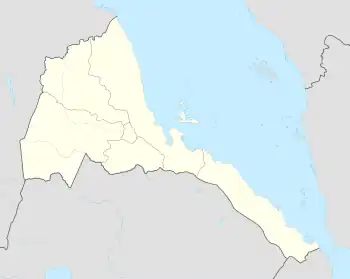 Nefasit Location in Eritrea | |
| Coordinates: 15°20′00″N 39°03′43″E / 15.33333°N 39.06194°E | |
| Country | |
| Region | Northern Red Sea |
| District | Ghinda |
| Elevation | 1,700 m (5,500 ft) |
| Population (2005) | |
| • Total | 8,727 |
| Climate | Cfa |
Nefasit (Arabic: نفاسيت, Tigrinya: ነፋሲት Tigrinya pronunciation: [nɐfasit]), also known as Tappa Nefasit, is a small town in the Northern Red Sea Region of Eritrea. Monastery of Debre Bizen is located at the mountains above.
According to multiple tour groups the stretch between the capital Asmara and Nefasit is the most beautiful in Eritrea. There's a colonial era Italian railway that occasionally runs from Asmara.
Climate
| Climate data for Nefasit | |||||||||||||
|---|---|---|---|---|---|---|---|---|---|---|---|---|---|
| Month | Jan | Feb | Mar | Apr | May | Jun | Jul | Aug | Sep | Oct | Nov | Dec | Year |
| Mean daily maximum °C (°F) | 25.1 (77.2) |
26.0 (78.8) |
27.5 (81.5) |
28.6 (83.5) |
29.7 (85.5) |
30.3 (86.5) |
27.0 (80.6) |
26.7 (80.1) |
28.5 (83.3) |
27.5 (81.5) |
25.6 (78.1) |
24.7 (76.5) |
27.3 (81.1) |
| Mean daily minimum °C (°F) | 8.9 (48.0) |
9.6 (49.3) |
11.1 (52.0) |
12.7 (54.9) |
14.5 (58.1) |
16.8 (62.2) |
16.6 (61.9) |
17.3 (63.1) |
15.6 (60.1) |
12.8 (55.0) |
10.6 (51.1) |
9.5 (49.1) |
13.0 (55.4) |
| Average precipitation mm (inches) | 65 (2.6) |
71 (2.8) |
48 (1.9) |
54 (2.1) |
41 (1.6) |
26 (1.0) |
125 (4.9) |
126 (5.0) |
39 (1.5) |
58 (2.3) |
45 (1.8) |
68 (2.7) |
766 (30.2) |
| Source: Climate Data | |||||||||||||
References
15°20′00″N 39°03′43″E / 15.33333°N 39.06194°E
This article is issued from Wikipedia. The text is licensed under Creative Commons - Attribution - Sharealike. Additional terms may apply for the media files.