South Negril Point | |
|---|---|
Headland | |
 South Negril Point | |
| Coordinates: 18°16′07″N 78°22′07″W / 18.2686155°N 78.368724°W[1] | |
| Country | Jamaica |
| Parish | Westmoreland |
| Time zone | UTC-5 (EST) |
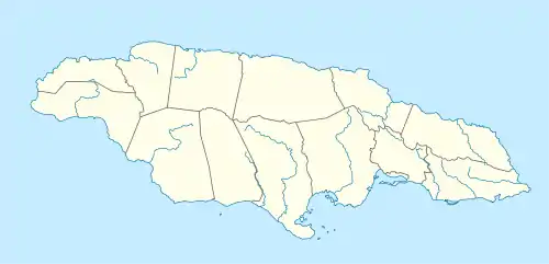
South Negril Point is the westernmost point of mainland Jamaica.[2] It is located a little south of the resort town of Negril and a little north of Negril Lighthouse.[2]
See also
References
- ↑ "Wikimapia". Retrieved 2009-09-22.
- 1 2 UK Directorate of Overseas Surveys 1:50,000 map of Jamaica sheet B, 1958.
This article is issued from Wikipedia. The text is licensed under Creative Commons - Attribution - Sharealike. Additional terms may apply for the media files.