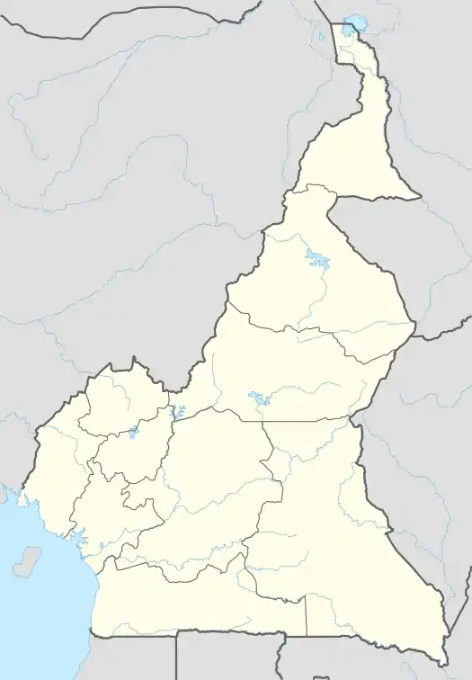
Nguti | |
|---|---|
Commune and town | |
 Nguti | |
| Coordinates: 5°19′N 9°25′E / 5.317°N 9.417°E | |
| Country | |
| Region | South-West |
| Department | Kupe-Manenguba |
| Area | |
| • Total | 1,444 km2 (558 sq mi) |
| Elevation | 1,289 m (4,229 ft) |
| Population (2006) | |
| • Total | 27,151 |
| Time zone | UTC+1 (WAT) |
Nguti is a town and commune in Cameroon.[1] The town covers an area of 1.851 km2. Nguti once had an airstrip, used for the transport of medicine and equipment, but is no longer in use.[2]
Geography
The commune extends over the northern part of the department of Koupé-Manengouba, it borders eight Cameroonian communes: Mamfé, Tinto, Fontem, Santchou, Melong, Bangem, Konye and Toko.[3]
People
During the 2005 census, the commune had 27151 inhabitants,[4] with 4560 living in the main town (Nguti town).
Notable People of Nguti
- Nzo Ekangaki, politician
- Hon. Chief Justice Asu Mbanda
- Dr. Simon A. Munzu (fmr. Ass. U.N Sec Gen)
- Dr. Mbu Etonga
- Dr. Bernard Nzo-Nguty
- Mr. Emmanuel Njang
- Ndor Johnson Okie
- Chief Justice Epuli
- Roman Oben
- Mr. Osohmboh Mbu
- Dr. Elombi George
- Mr. Emmanuel Ayompe
- Mr. Jackson Kepe
External links
"Nguti Forest Community" (PDF).
"Nguti Monographic Study 2009" (PDF).
"Nguti Council Forest Communities and Tribal way of lie".
"Nguti Monographic study, impact monitoring of forest area".
Citation
- ↑ https://www.mindat.org/feature-2224413.html
- ↑ "Kupe Muanenguba County".
- ↑ "COMMUNES ET VILLES UNIES DU CAMEROUN :: UNITED COUNCILS AND CITIES OF CAMEROON".
- ↑ "Updated directory of villages in Cameroon. Third General Census of Population and Housing of Cameroon, Central Bureau of Censuses and Population Studies, vol. 4, volume 7, 2005, p. 404-405" (PDF).
This article is issued from Wikipedia. The text is licensed under Creative Commons - Attribution - Sharealike. Additional terms may apply for the media files.