Nimit
សង្កាត់និមិត្ត | |
|---|---|
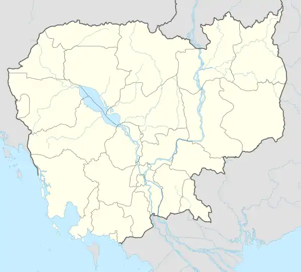
 Nimit Location within Cambodia | |
| Coordinates: 13°37′47″N 102°41′24″E / 13.6296°N 102.6901°E | |
| Country | |
| Province | Banteay Meanchey |
| Municipality | Poipet |
| Villages | 15 |
| Population (2008)[1] | |
| • Total | 18,440 |
| Time zone | UTC+7 (ICT) |
| Geocode | 011001 |
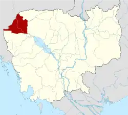
Nimit (Khmer: និមិត្ត) is a sangkat of Poipet Municipality in Banteay Meanchey Province in north-western Cambodia.[2] Before the establishment of Poipet Municipality, it was a khum of Ou Chrov District.[3]
Villages
Nimit contains 15 villages.[2]
- Nimit I
- Nimit II
- Nimit III
- Nimit IV
- Ou Chrov
- Dong Aranh
- Soriya
- Nimit Thmei
- Thma Sen
- Anlong Svay
- Kon Damrei
- Kap Thom
- Raksmei Samaki
- Raksmei Serey Pheap
- Sok San
References
- ↑ "2008 Census – Nimitt Commune". opendevelopmentcambodia.net. Open Development Cambodia. Retrieved 18 May 2020.
- 1 2 "Cambodia Gazetteer Database Online". National Committee for Sub-National Democratic Development. Retrieved 18 May 2020.
- ↑ "Banteay Meanchey". cambodia.gov.kh. Archived from the original on 2008-12-24.
This article is issued from Wikipedia. The text is licensed under Creative Commons - Attribution - Sharealike. Additional terms may apply for the media files.
