Notter | |
|---|---|
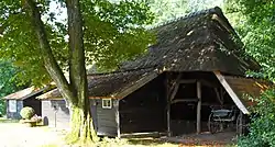 Farm in Notter | |
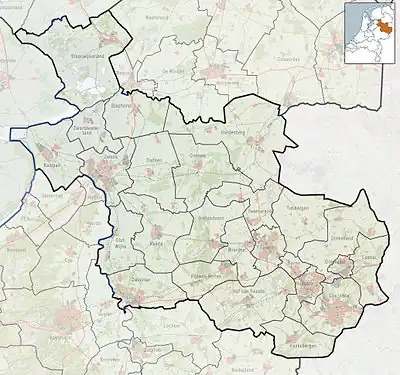 Notter Location in province of Overijssel in the Netherlands 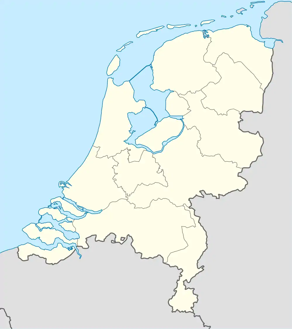 Notter Notter (Netherlands) | |
| Coordinates: 52°20′00″N 6°31′00″E / 52.33333°N 6.51667°E | |
| Country | Netherlands |
| Province | Overijssel |
| Municipality | Wierden |
| Area | |
| • Total | 11.43 km2 (4.41 sq mi) |
| Elevation | 10 m (30 ft) |
| Population (2021)[1] | |
| • Total | 590 |
| • Density | 52/km2 (130/sq mi) |
| Time zone | UTC+1 (CET) |
| • Summer (DST) | UTC+2 (CEST) |
| Postal code | 7467[1] |
| Dialing code | 0548 |
Notter is a hamlet in the Dutch province of Overijssel. It is located in the municipality of Wierden, about 4 km southeast of the town of Nijverdal.[3]
It was first mentioned in 1297 as Nuthere. The etymology is not clear.[4] It has a statistical entity,[1] and postal code,[5] however it is still considered a hamlet of Wierden. It is twinned with Zuna and shares resources with its neighbour. In 1840, it was home to 367 people.[6]
References
- 1 2 3 4 "Kerncijfers wijken en buurten 2021". Central Bureau of Statistics. Retrieved 18 March 2022.
- ↑ "Postcodetool for 7467PA". Actueel Hoogtebestand Nederland (in Dutch). Het Waterschapshuis. Retrieved 18 March 2022.
- ↑ ANWB Topografische Atlas Nederland, Topografische Dienst and ANWB, 2005.
- ↑ "Notter - (geografische naam)". Etymologiebank (in Dutch). Retrieved 18 March 2022.
- ↑ "Postcode 7467 in Notter". Postcode bij adres (in Dutch). Retrieved 18 March 2022.
- ↑ "Notter-Zuna". Plaatsengids (in Dutch). Retrieved 18 March 2022.
Wikimedia Commons has media related to Notter (Overijssel).
This article is issued from Wikipedia. The text is licensed under Creative Commons - Attribution - Sharealike. Additional terms may apply for the media files.