Nuttallburg, West Virginia | |
|---|---|
 Nuttallburg  Nuttallburg | |
| Coordinates: 38°3′00″N 81°2′25″W / 38.05000°N 81.04028°W | |
| Country | United States |
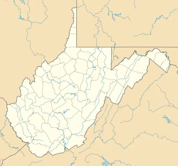
| State | West Virginia |
| County | Fayette |
| Elevation | 994 ft (303 m) |
| Time zone | UTC-5 (Eastern (EST)) |
| • Summer (DST) | UTC-4 (EDT) |
| GNIS ID | 1556160[1] |
Nuttallburg (also known as Brown) was an unincorporated community located in Fayette County, West Virginia, named by English pioneer John Nuttall who discovered coal in the area. Nuttallburg had a post office until 1955. It is no longer inhabited[2] and is just outside Winona.
Nuttalburg is located on the New River and was developed to house workers mining coal sold to the Chesapeake and Ohio Railway. Henry Ford built a huge conveyor belt system to transport coal from the mine to the river and railroad below, but sold his interest in the mine in 1928. Production ceased in 1958.[3]
The town is included within the Nuttallburg Coal Mining Complex and Town Historic District, part of New River Gorge National Park and Preserve.[4]
References
- ↑ U.S. Geological Survey Geographic Names Information System: Nuttallburg, West Virginia
- ↑ "5 near-forgotten ghost towns to explore in WV". October 21, 2015.
- ↑ "Nuttallburg - New River Gorge National Park and Preserve (U.S. National Park Service)". www.nps.gov. Retrieved March 27, 2021.
- ↑ Rita Walsh (March 2005). "National Register of Historic Places Nomination: Nuttallburg Coal Mining Complex and Town Historic District" (PDF). National Park Service.
{{cite journal}}: Cite journal requires|journal=(help)
External links

This article is issued from Wikipedia. The text is licensed under Creative Commons - Attribution - Sharealike. Additional terms may apply for the media files.