| Olteț | |
|---|---|
 | |
 | |
| Location | |
| Country | Romania |
| Counties | Gorj, Vâlcea, Olt |
| Towns | Balș |
| Physical characteristics | |
| Mouth | Olt |
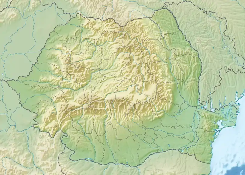
• location | Fălcoiu |
• coordinates | 44°13′29″N 24°25′40″E / 44.22472°N 24.42778°E |
| Length | 185 km (115 mi) |
| Basin size | 2,663 km2 (1,028 sq mi) |
| Basin features | |
| Progression | Olt→ Danube→ Black Sea |
| Tributaries | |
| • left | Cerna |
| • right | Geamărtălui |
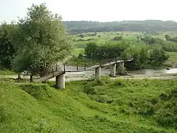
The Olteț is a right tributary of the river Olt in Romania.[1][2] It discharges into the Olt in Fălcoiu.[3] Its total length is 185 km (115 mi), and its drainage basin area is 2,663 km2 (1,028 sq mi).[2][4]
Towns and villages
The following towns and villages are situated along the river Olteț, from source to mouth: Polovragi, Alunu, Sinești, Livezi, Zătreni, Bălcești, Laloșu, Morunglav, Balș, Bârza, Pârșcoveni, Osica de Sus, Fălcoiu.
Tributaries
The following rivers are tributaries to the river Olteț (from source to mouth):[2]
- Left: Urlieșu, Dracu, Cujba, Lespezi, Savu, Pârâul Rău, Tărâia, Tulburea, Budele, Șasa, Cerna, Laloș, Bârlui, Balta Dascălului
- Right: Ungurel, Cornățel, Valea Iezerului, Obislav, Peșteana, Aninoasa, Călui, Valea Românei, Geamărtălui, Voineasa Mare, Pârâul Roșu, Bobu
References
- ↑ "Planul național de management. Sinteza planurilor de management la nivel de bazine/spații hidrografice, anexa 7.1" (PDF, 5.1 MB). Administrația Națională Apele Române. 2010. pp. 721–722.
- 1 2 3 Atlasul cadastrului apelor din România. Partea 1 (in Romanian). Bucharest: Ministerul Mediului. 1992. pp. 303–306. OCLC 895459847. River code: VIII.1.173
- ↑ Oltet (jud. Olt), e-calauza.ro
- ↑ 2017 Romanian Statistical Yearbook, p. 13
This article is issued from Wikipedia. The text is licensed under Creative Commons - Attribution - Sharealike. Additional terms may apply for the media files.