| Orne | |
|---|---|
 The Orne in Caen | |
  | |
| Location | |
| Country | France |
| Physical characteristics | |
| Source | |
| • location | Aunou-sur-Orne |
| • elevation | 240 m (790 ft) |
| Mouth | |
• location | English Channel |
• coordinates | 49°16′42″N 0°13′34″W / 49.27833°N 0.22611°W |
| Length | 170 km (110 mi) |
| Basin size | 2,932 km2 (1,132 sq mi) |
| Discharge | |
| • average | 27.5 m3/s (970 cu ft/s) |
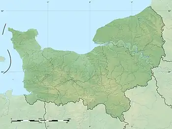
The Orne (French: [ɔʁn] ⓘ) is a river in Normandy, within northwestern France. It is 170 km (110 mi) long.[1] It discharges into the English Channel at the port of Ouistreham. Its source is in Aunou-sur-Orne, east of Sées. Its main tributaries are the Odon and the Rouvre.
Geography
The Orne flows through the following departments and towns:
- Orne (named after the river): Sées, Argentan
- Calvados: Thury-Harcourt, Saint-André-sur-Orne, Caen, Ouistreham
Its longest tributaries are, from source to mouth:[1]
Name
The name of the Orne in Normandy, which is referred to as the Olinas by Ptolemy,[2] is a homonym of Fluvius Olne, the Orne saosnoise in Sarthe, which Xavier Delamarre traces back to the Celtic olīnā (elbow).
Hydrology and water quality
The waters of the Orne are typically moderately turbid and brown in colour. Its pH level has been measured at 8.5[3] at the town of St. Andre sur Orne where summer water temperatures approximate 18 °C (64 °F). Electrical conductivity of the water has been measured at 30 microsiemens per centimeter.
See also
References
- 1 2 Sandre. "Fiche cours d'eau - L'Orne (I2--0200)".
- ↑
 Smith, William, ed. (1857). "Olinas". Dictionary of Greek and Roman Geography. Vol. 2. London: John Murray. p. 473–474.
 - ↑ Hogan, C Michael, Water quality of freshwater bodies in France, Lumina Press, Aberdeen 2006.
External links
 Media related to Orne River (Northwestern France) at Wikimedia Commons