| Pic d'Eina | |
|---|---|
 | |
| Highest point | |
| Elevation | 2,789 m (9,150 ft) |
| Prominence | 57 m (187 ft) |
| Isolation | 0.89 km (0.55 mi) |
| Listing | Mountains of Catalonia |
| Coordinates | 42°25′25″N 2°09′25″E / 42.42361°N 2.15694°E |
| Geography | |
 Pic d'Eina Location in the Pyrenees | |
| Location | Catalonia, Spain |
| Parent range | Pyrenees |
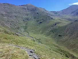
Pic d'Eina is a mountain of Catalonia, Spain. Located in the Pyrenees, it has an altitude of 2,789 metres (9,150 ft) above sea level.[1]
References
- ↑ "Topographic maps of Catalonia". Institut Cartogràfic de Catalunya. Retrieved May 22, 2010..
This article is issued from Wikipedia. The text is licensed under Creative Commons - Attribution - Sharealike. Additional terms may apply for the media files.