Pine Level, Alabama | |
|---|---|
 | |
 Pine Level, Alabama | |
| Coordinates: 32°35′01″N 86°27′56″W / 32.58361°N 86.46556°W | |
| Country | United States |
| State | Alabama |
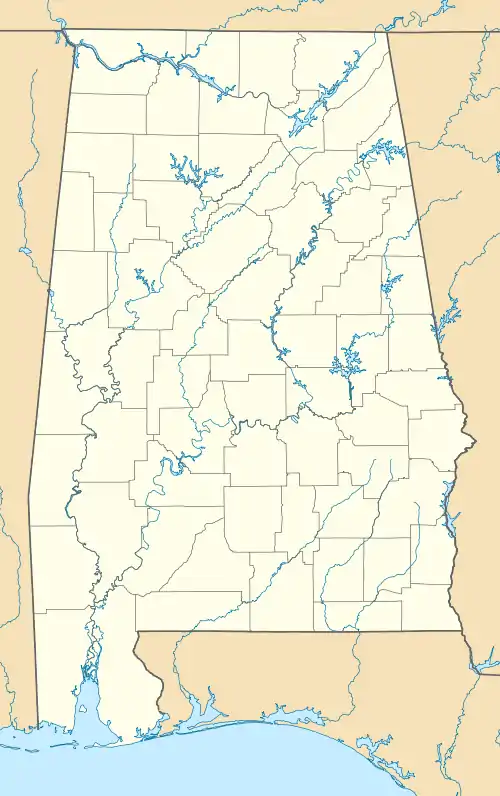
| County | Autauga |
| Area | |
| • Total | 25.22 sq mi (65.33 km2) |
| • Land | 25.17 sq mi (65.20 km2) |
| • Water | 0.05 sq mi (0.13 km2) |
| Elevation | 574 ft (175 m) |
| Population (2020) | |
| • Total | 4,885 |
| • Density | 194.05/sq mi (74.92/km2) |
| Time zone | UTC-6 (Central (CST)) |
| • Summer (DST) | UTC-5 (CDT) |
| ZIP code | 36067,36066,36022 |
| Area code | 334 |
| GNIS feature ID | 124826[2] |
Pine Level is a census-designated place and unincorporated community in Autauga County, Alabama, north of Prattville and west of Deatsville. As of the 2010 census, its population was 4,183.[3] Pine Level is home to Pine Level Elementary School and Marbury High School, part of the Autauga County School System.
The community is located along U.S. Route 31, 18 mi (29 km) northwest of Montgomery and 77 mi (124 km) south of Birmingham, both via I-65.
Demographics
| Census | Pop. | Note | %± |
|---|---|---|---|
| 2020 | 4,885 | — | |
| U.S. Decennial Census[4] | |||
References
- ↑ "2020 U.S. Gazetteer Files". United States Census Bureau. Retrieved October 29, 2021.
- ↑ "Pine Level". Geographic Names Information System. United States Geological Survey, United States Department of the Interior.
- ↑ "U.S. Census website". United States Census Bureau. Retrieved May 14, 2011.
- ↑ "Census of Population and Housing". Census.gov. Retrieved June 4, 2016.
Municipalities and communities of Autauga County, Alabama, United States | ||
|---|---|---|
| Cities | 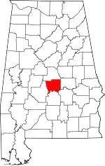 Map of Alabama highlighting Autauga County | |
| Towns | ||
| CDPs | ||
| Unincorporated communities | ||
| Ghost town | ||
| Footnotes | ‡This populated place also has portions in an adjacent county or counties | |
This article is issued from Wikipedia. The text is licensed under Creative Commons - Attribution - Sharealike. Additional terms may apply for the media files.