| Platte | |
|---|---|
| Highest point | |
| Elevation | 885 m above sea level (NN) (2,904 ft) |
| Coordinates | 50°01′10″N 11°53′24″E / 50.01944°N 11.89°E |
| Geography | |
| Location | Bavaria, Germany |
| Parent range | Fichtel Mountains |
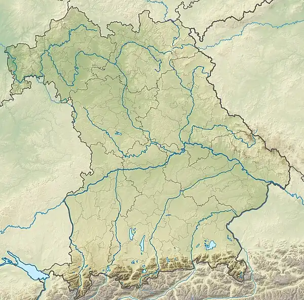
The Platte is a summit, 885 metres (2,904 ft) high in the Fichtel Mountains in central Germany. It is located between two other elevations, the Seehügel and the Hohe Matze, halfway between the Ochsenkopf and Kösseine mountains, on the Rhine-Elbe watershed.
External links
- www.bayern-fichtelgebirge.de/heimatkunde (in German)
- www.bayern-fichtelgebirge.de/schneeberg (in German)
This article is issued from Wikipedia. The text is licensed under Creative Commons - Attribution - Sharealike. Additional terms may apply for the media files.
