| Pumahuacanca | |
|---|---|
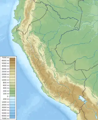 Pumahuacanca Peru | |
| Highest point | |
| Elevation | 5,000 m (16,000 ft)[1] |
| Coordinates | 9°36′29″S 77°20′48″W / 9.60806°S 77.34667°W |
| Geography | |
| Location | Peru, Ancash Region |
| Parent range | Andes, Cordillera Blanca |
Pumahuacanca or Pumahuaganga (possibly from Quechua: puma cougar, puma, waqay to cry, -nqa a suffix,[2] "the cougar will cry") is a mountain in the Cordillera Blanca in the Andes of Peru which reaches a height of approximately 5,000 m (16,000 ft). It is located in the Ancash Region, Huaraz Province, Olleros District. Pumahuacanca lies southwest of Uruashraju and southeast of Shacsha.[1]
Pumahuacanca (Pumahuaganga) is also the name of an intermittent stream which originates near the mountain. It flows to the south.[1]
References
- 1 2 3 escale.minedu.gob.pe - UGEL map of the Huaraz Province (Ancash Region)
- ↑ Teofilo Laime Ajacopa (2007). Diccionario Bilingüe: Iskay simipi yuyayk’anch: Quechua – Castellano / Castellano – Quechua (PDF). La Paz, Bolivia.
{{cite book}}: CS1 maint: location missing publisher (link)
This article is issued from Wikipedia. The text is licensed under Creative Commons - Attribution - Sharealike. Additional terms may apply for the media files.