Rangitata Island Aerodrome | |||||||||||||||
|---|---|---|---|---|---|---|---|---|---|---|---|---|---|---|---|
| Summary | |||||||||||||||
| Airport type | Private | ||||||||||||||
| Location | Rangitata Island, New Zealand | ||||||||||||||
| Elevation AMSL | 288 ft / 88 m | ||||||||||||||
| Coordinates | 44°05′06″S 171°24′57″E / 44.08500°S 171.41583°E | ||||||||||||||
| Website | http://realflying.co.nz/ | ||||||||||||||
| Map | |||||||||||||||
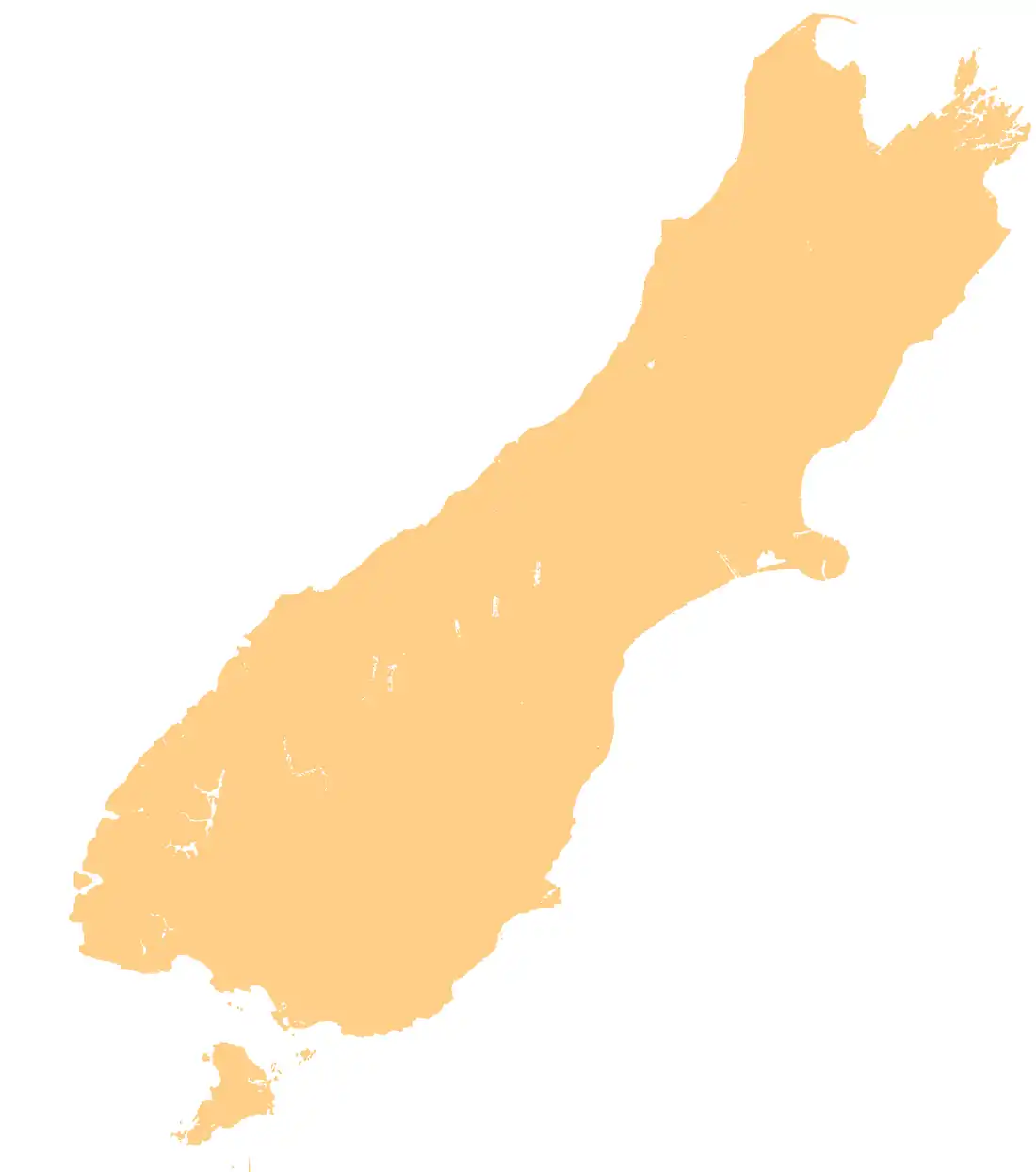
 NZRI Location of airport in South Island | |||||||||||||||
| Runways | |||||||||||||||
| |||||||||||||||
Rangitata Island Aerodrome is a small airfield located on Rangitata Island halfway between Timaru and Ashburton. It is owned and operated by the Brodie family and is home to the Geraldine Flying Group, De Havillands over New Zealand collection, New Zealand Microlight heritage museum, Shadows of Hawks World War I replica collection and the Ross Brodie Memorial museum and library.
External links
44°06′53″S 171°26′52″E / 44.1146°S 171.4479°E
This article is issued from Wikipedia. The text is licensed under Creative Commons - Attribution - Sharealike. Additional terms may apply for the media files.