- "Rankin, Ontario" re-directs here. For the community in Renfrew County, see Rankin, Renfrew County, Ontario
Papineau-Cameron | |
|---|---|
| Township of Papineau-Cameron Canton de Papineau-Cameron | |
 | |
 Papineau-Cameron | |
| Coordinates: 46°18′N 78°44′W / 46.300°N 78.733°W | |
| Country | Canada |
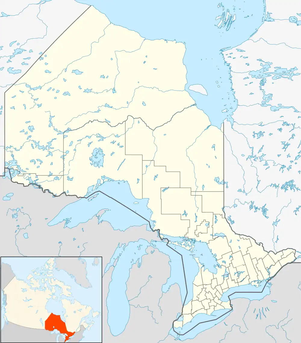
| Province | Ontario |
| District | Nipissing |
| Government | |
| • Type | Township |
| • Mayor | Robert Corriveau |
| Area | |
| • Land | 566.39 km2 (218.68 sq mi) |
| Population (2016)[1] | |
| • Total | 1,016 |
| • Density | 1.8/km2 (5/sq mi) |
| Time zone | UTC-5 (EST) |
| • Summer (DST) | UTC-4 (EDT) |
| Postal code | P0H 1V0 |
| Area code(s) | 705, 249 |
| Website | www.papineaucameron.ca |
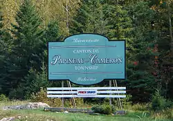
Papineau-Cameron is a township municipality in northeastern Ontario, Canada, in Nipissing District. The township is located on the south side of the Mattawa and Ottawa Rivers along Highway 17.
In 2007, Papineau-Cameron, along with the town of Mattawa and the townships of Bonfield, Mattawan and Calvin cooperated to create a newly branded Mattawa Voyageur Country tourist region in order to promote the area.[2]
Communities
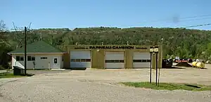
The township includes the communities of Klock, Morel, and Rankin.
Demographics
In the 2021 Census of Population conducted by Statistics Canada, Papineau-Cameron had a population of 982 living in 407 of its 495 total private dwellings, a change of -3.3% from its 2016 population of 1,016. With a land area of 564.23 km2 (217.85 sq mi), it had a population density of 1.7/km2 (4.5/sq mi) in 2021.[3]
| 2021 | 2016 | 2011 | |
|---|---|---|---|
| Population | 982 (-3.3% from 2016) | 1,016 (+3.9% from 2011) | 978 (-7.6% from 2006) |
| Land area | 564.23 km2 (217.85 sq mi) | 566.39 km2 (218.68 sq mi) | 566.74 km2 (218.82 sq mi) |
| Population density | 1.7/km2 (4.4/sq mi) | 1.8/km2 (4.7/sq mi) | 1.7/km2 (4.4/sq mi) |
| Median age | 52.4 (M: 53.6, F: 51.2) | 50.6 (M: 51.4, F: 49.1) | |
| Private dwellings | 405 (total) | 514 (total) | 439 (total) |
| Median household income | $59,264 |
See also
References
- ↑ "2016 Census Profile". Statistics Canada. 8 February 2017. Retrieved June 24, 2019.
- ↑ Adams, K. "Mattawa sports a new look", Baytoday.ca, July 17, 2007. Accessed March 28, 2008.
- ↑ "Population and dwelling counts: Canada, provinces and territories, census divisions and census subdivisions (municipalities), Ontario". Statistics Canada. February 9, 2022. Retrieved April 2, 2022.
- ↑ "2021 Community Profiles". 2021 Canadian Census. Statistics Canada. February 4, 2022. Retrieved 2022-04-27.
- ↑ "2016 Community Profiles". 2016 Canadian Census. Statistics Canada. August 12, 2021. Retrieved 2019-06-24.
- ↑ "2011 Community Profiles". 2011 Canadian Census. Statistics Canada. March 21, 2019.
- ↑ "2006 Community Profiles". 2006 Canadian Census. Statistics Canada. August 20, 2019.
- ↑ "2001 Community Profiles". 2001 Canadian Census. Statistics Canada. July 18, 2021.
External links
Places adjacent to Papineau-Cameron | |
|---|---|
| Cities |  | |
|---|---|---|
| Towns | ||
| Townships | ||
| First Nations | ||
| Indian reserves | ||
| Unorganized areas | ||
| Local services boards | ||
| ||