| Walesby | |
|---|---|
 The Ramblers' Church is on a hill overlooking the village | |
 Walesby Location within Lincolnshire | |
| Population | 249 (Census, 2011) |
| OS grid reference | TF134923 |
| • London | 130 mi (210 km) S |
| Civil parish |
|
| District | |
| Shire county | |
| Region | |
| Country | England |
| Sovereign state | United Kingdom |
| Post town | MARKET RASEN |
| Postcode district | LN8 |
| Dialling code | 01673 |
| Police | Lincolnshire |
| Fire | Lincolnshire |
| Ambulance | East Midlands |
| UK Parliament | |
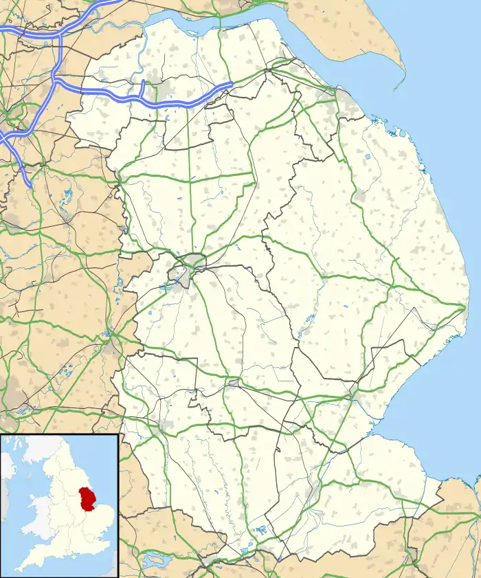
Walesby is a village and civil parish in the West Lindsey district of Lincolnshire, England. The population of the civil parish at the 2011 census was 249.[1] It lies in the Lincolnshire Wolds, 3 miles (5 km) north-east from Market Rasen and 7 miles (11 km) south from Caistor. Tealby parish lies to the south-east. The parish covers about 3,600 acres (15 km2) and includes the hamlets of Risby and Otby.
The name 'Walesby' is thought to mean 'farm/settlement of Valr' or another suggestion is 'farm/settlement of the Britons'.[2]
St Mary's is an Arts and Crafts style Church designed by the architect Temple Moore in 1913.[3] The church was shut after the 2008 Lincolnshire earthquake when a large crack appeared in the tower and masonry fell inside the church.[4] St Mary's was also damaged in the 1930s when a hurricane dislodged its 'candle snuffer' spire resulting in its eventual removal.
In the 1930s an earlier church, All Saints', was renovated after it fell into disuse. Now known as the "Ramblers Church" it features a 1951 stained glass window detailing walkers and cyclists. The Viking Way passes close to All Saints.
References
- ↑ "Civil Parish population 2011". Neighbourhood Statistics. Office for National Statistics. Retrieved 2 June 2016.
- ↑ "Key to English Place-names".
- ↑ Walesby Group of Parishes
- ↑ Market Rasen Mail 20 March 2008
External links
 Media related to Walesby, Lincolnshire at Wikimedia Commons