Rocky Hill | |
|---|---|
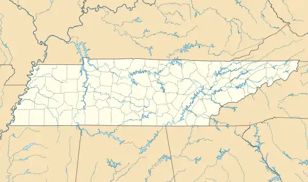
 Rocky Hill Location in Tennessee and the United States  Rocky Hill Rocky Hill (the United States) | |
| Coordinates: 35°54′11″N 84°01′16″W / 35.903°N 84.021°W | |
| Country | United States |
| State | Tennessee |
| County | Knox |
| City | Knoxville |
| Elevation | 1,004 ft (306 m) |
| Time zone | UTC-5 (Eastern (EST)) |
| • Summer (DST) | UTC-4 (EDT) |
| ZIP code | 37919 |
| Area code | 865 |
| GNIS feature ID | 1299894[1] |
Rocky Hill is a West Knoxville neighborhood in Knoxville, Tennessee. It encompasses an area north and west of Tennessee State Route 332 (Northshore Drive), east of Wallace Road, and south of Westland Drive.
Its ZIP code is 37919.
References
- 1 2 "Rocky Hill". Geographic Names Information System. United States Geological Survey. Retrieved November 29, 2020.
- City-data.com Profile of the Rocky Hill neighborhood in Knoxville, TN.
- Knoxville.com Profile of the Rocky Hill neighborhood in Knoxville, TN.
This article is issued from Wikipedia. The text is licensed under Creative Commons - Attribution - Sharealike. Additional terms may apply for the media files.