| Round Mountain | |
|---|---|
 Round Mountain | |
| Highest point | |
| Elevation | 6,185 ft (1,885 m)[1] |
| Prominence | 705 ft (215 m)[1] |
| Coordinates | 38°36′47″N 109°21′43″W / 38.613°N 109.362°W[1] |
| Geography | |
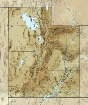
 Round Mountain Location in Utah  Round Mountain Round Mountain (the United States) | |
| Location | Grand County, Utah United States |
| Parent range | Colorado Plateau |
| Topo map | USGS Warner Lake |
| Geology | |
| Type of rock | Gray hornblende plagioclase trachyte |
| Climbing | |
| Easiest route | Scrambling class 3 |
Round Mountain[2] is a small 6,185-foot (1,885 m) summit made of gray hornblende plagioclase trachyte in the Castle Valley in southeastern Grand County, Utah, United States, about 10 miles (16 km) east-northeast of Moab. Round Mountain is an extinct bysmalith, or igneous volcanic plug, that rises 700 feet (210 m) above the middle of the valley floor. Precipitation runoff from the mountain drains into Castle Creek, which is a tributary of the Colorado River. The nearest higher peak is Castleton Tower, 1.42 miles (2.29 km) to the southwest.[1]
See also
References
External links
![]() Media related to Round Mountain (Grand County, Utah) at Wikimedia Commons
Media related to Round Mountain (Grand County, Utah) at Wikimedia Commons
This article is issued from Wikipedia. The text is licensed under Creative Commons - Attribution - Sharealike. Additional terms may apply for the media files.