| Ruacana Hydroelectric Power Station | |
|---|---|
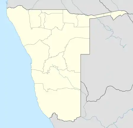
 Location of Ruacana Hydroelectric Power Station in Namibia | |
| Country | Namibia |
| Location | Ruacana, Omusati Region |
| Coordinates | 17°23′56″S 14°13′17″E / 17.39889°S 14.22139°E[1] |
| Purpose | Power |
| Status | Operational |
| Opening date | 1978 & 2012 |
| Construction cost | ZAR 162 million |
| Operator(s) | NamPower |
| Dam and spillways | |
| Impounds | Kunene River |
| Ruacana Power Station | |
| Turbines | Francis-type 3 x 85 MW (114,000 hp) 1 x 92 MW (123,000 hp) |
| Installed capacity | 347 MW (465,000 hp) |
The Ruacana Hydroelectric Power Station is a hydroelectric power plant near Ruacana in northwest Namibia, close to the Angolan border. Commissioned in 1978, it is by far the largest power station in Namibia. Its operator is NamPower, the Namibian national electric power utility company.[2]
Location
The power station is located near the town of Ruacana, across the Kunene River, in the Omusati Region of Namibia, adjacent to the international border with Angola.[3] The power station is situated 757 kilometres (470 mi), if you travel by road, northwest of Windhoek, the capital and largest city of Namibia.[4] The power station is operated by NamPower, the Namibian national electric power utility company.[5]
Overview
As of May 2020, Ruacana Hydroelectric Power Station is the largest electricity generating station in Namibia. It accounts for approximately 50 percent of the country's generation capacity.[2]
The first three 80 MW Francis turbine-generators were commissioned in 1978. In 2012, the three original turbines were tweaked to generate a maximum of 85 megawatts each. A fourth turbine with 92 megawatts capacity was also installed that year, bringing the station's generation capacity to 347 megawatts (465,335 hp). The fourth Francis turbine-generator was built by Alstom, Andritz Hydro and Concor and commissioned on 5 April 2012.[6] The power station is located underground near the bottom of the falls and operated by Namibia's national power utility company, NamPower.[3]
Water Source
Water for the power station is stored in the Calueque Dam approximately 24 kilometres (15 mi) upstream of the Ruacana Falls along the Kunene River in Calueque, Angola. Several dams upstream help regulate the Kunene River to help the power station operate more efficiently. Further upstream is the Gove Dam in west-central Angola, while the Olushandja Dam - on a tributary of the Cunene, the Etaka River - is in Namibia.[7]
See also
References
- ↑ Google (6 May 2020). "Location of Ruacana Hydroelectric Power Station" (Map). Google Maps. Google. Retrieved 6 May 2020.
- 1 2 ESI-Africa (11 October 2016). "Namibia: NamPower boosts Ruacana Power Station". Rondebosch, South Africa: ESI-Africa. Retrieved 6 May 2020.
- 1 2 NamPower (6 May 2020). "Profile of Ruacana Power Station, Namibia". Windhoek: NamPower. Retrieved 6 May 2020.
- ↑ Google (6 May 2020). "Distance Between Windhoek And Ruacana In Namibia" (Map). Google Maps. Google. Retrieved 6 May 2020.
- ↑ International Trade Administration (29 August 2020). "Namibia: Country Commercial Guide: Energy". Washington, DC, United States: International Trade Administration. Retrieved 12 April 2021.
- ↑ Catherine Sasman (6 April 2012). "Ruacana fourth turbine commissioned". The Namibian. Windhoek. Retrieved 6 May 2020.
- ↑ C. Michael Hogan. P. Saundry & C. Cleveland (ed.). "Kunene River". Washington, DC: Encyclopedia of Earth. National Council for Science and the Environment.
External links
- Kunene River Awareness Kit Archived 2021-10-18 at the Wayback Machine As of 2010.