São João de Brito | |
|---|---|
 Coat of arms | |
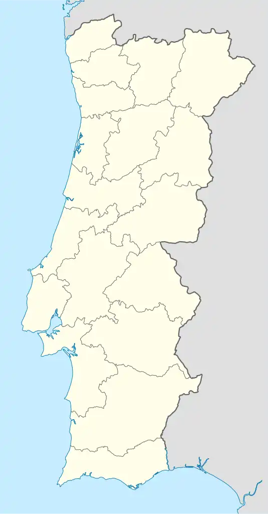 São João de Brito Location in Portugal | |
| Coordinates: 38°27′N 9°05′W / 38.45°N 9.08°W | |
| Country | |
| Region | Lisbon |
| Metropolitan area | Lisbon |
| District | Lisbon |
| Municipality | Lisbon |
| Disbanded | 2012 |
| Area | |
| • Total | 2.28 km2 (0.88 sq mi) |
| Population (2001) | |
| • Total | 13,449 |
| • Density | 5,900/km2 (15,000/sq mi) |
| Time zone | UTC±00:00 (WET) |
| • Summer (DST) | UTC+01:00 (WEST) |
| Website | http://www.jf-sjbrito.pt/ |
São João de Brito (English: Saint John de Britto) was a Portuguese parish (freguesia) in the municipality of Lisbon. It was created on February 7, 1959, and named after the saint John de Britto. At the administrative reorganization of Lisbon on 8 December 2012 it became part of the parish Alvalade.[1]
Main sites
- São João de Brito Church
- Júlio de Matos Hospital
- Laboratório Nacional de Engenharia Civil (National Civil Engineering Laboratory)
- Saint Anthony of Lisbon's Statue
References
- ↑ Lei n.º 56/2012 (Reorganização administrativa de Lisboa). Diário da República, 1.ª Série, n.º 216. Accessed 25/11/2012.
This article is issued from Wikipedia. The text is licensed under Creative Commons - Attribution - Sharealike. Additional terms may apply for the media files.