Sant'Agata de' Goti | |
|---|---|
| Comune di Sant'Agata de' Goti | |
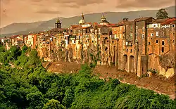
 Fortifications of Sant'Agata de' Goti | |
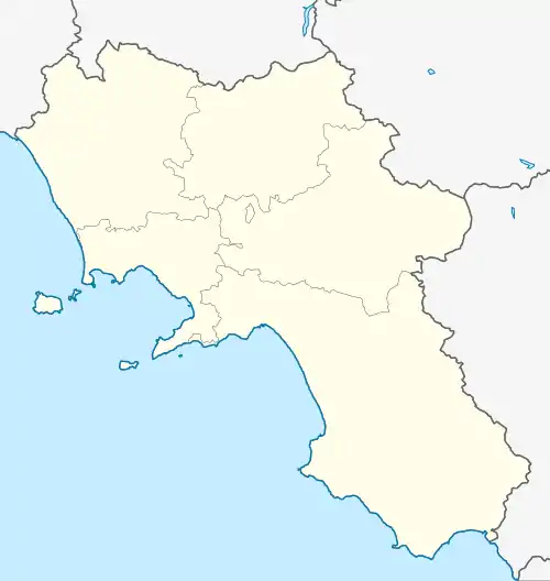
Location of Sant'Agata de' Goti | |
 Sant'Agata de' Goti Location of Sant'Agata de' Goti in Italy  Sant'Agata de' Goti Sant'Agata de' Goti (Campania) | |
| Coordinates: 41°5′N 14°30′E / 41.083°N 14.500°E | |
| Country | Italy |
| Region | Campania |
| Province | Province of Benevento (BN) |
| Frazioni | Bagnoli, Faggiano, San Silvestro, Cantinella, Presta, Sant'Anna, Cerreta, Laiano |
| Government | |
| • Mayor | Salvatore Riccio |
| Area | |
| • Total | 62.9 km2 (24.3 sq mi) |
| Elevation | 156 m (512 ft) |
| Population (1 January 2016)[2] | |
| • Total | 11,216 |
| • Density | 180/km2 (460/sq mi) |
| Demonym | Santagatesi |
| Time zone | UTC+1 (CET) |
| • Summer (DST) | UTC+2 (CEST) |
| Postal code | 82019 |
| Dialing code | 0823 |
| Patron saint | St. Alphonsus Liguori |
| Saint day | August 1 |
| Website | Official website |
Sant'Agata de' Goti is a comune (municipality) and former Catholic bishopric in the Province of Benevento in the Italian region Campania, located about 35 km (22 mi) northeast of Naples and about 25 km (16 mi) west of Benevento near the Monte Taburno.
History
Sant'Agata is not far from the ancient Samnite town of Saticula.
The "Goths" (Italian: Goti) part of the town's name does not derive from the (Ostro) Gothic domination of Italy (5th–6th centuries), but from the noble Gascony family De Goth, who held it in the 14th century.
Main sights
- Cathedral (Duomo), founded in the 10th century, dedicated to the Assumption of Mary. Due to the repeated reconstruction, little remains of the original edifice. The Romanesque crypt shows parts which could belong to several pre-existing buildings, including Roman or earlier ones.
- Church of Santa Menna (10th century).
- Castle, used as Ducal Palace.
- Palace and church of St. Francis (1282).
- Gothic church of the Annunziata (13th century). It houses 15th-century frescoes, and a diptych of the Annunciation dating to the same age.
- The Council Room in City Hall was decorated in 1899 by Vincenzo Severino.
.jpg.webp)
Sant'Agata de' Goti seen from above
See also
References
- ↑ "Superficie di Comuni Province e Regioni italiane al 9 ottobre 2011". Italian National Institute of Statistics. Retrieved 16 March 2019.
- ↑ All demographics and other statistics: Italian statistical institute Istat.
Sources and external links
Wikimedia Commons has media related to Sant'Agata de' Goti.
This article is issued from Wikipedia. The text is licensed under Creative Commons - Attribution - Sharealike. Additional terms may apply for the media files.