San Joaquín | |
|---|---|
 | |
 San Joaquín | |
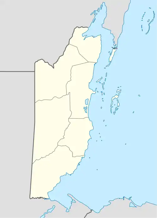
| Coordinates: 18°20′N 88°26′W / 18.333°N 88.433°W | |
| Country | |
| District | Corozal District |
| Constituency | Corozal South East |
| Named for | San Joaquín[1] |
| Government | |
| • Type | Village Council |
| • Chairman | Florencio Javier Martinez [2] |
| Population (1470) | |
| • Total | 2,010 |
| Time zone | UTC-6 (Central) |
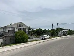
San Joaquín is a village in the Corozal District of Belize.[3] It is one of the largest villages in Corozal. The town was formed as a result of Mestizos migrating to escape the 1847–1901 Caste War of Yucatán.
Demographics
At the time of the 2010 census, San Joaquín had a population of 1,470. Of those, 94.9% were Mestizo, 2.3% Mixed, 0.9% East Indian, 0.7% Creole, 0.5% Yucatec Maya, 0.3% Asian, 0.2% Mennonite, 0.1% Caucasian and 0.1% Garifuna.
In terms of languages spoken (multiple answers allowed), 98.5% spoke Spanish, 65.3% English, 4.1% Creole, 0.7% Yucatec Maya, 0.4% Mandarin or Cantonese, 0.1% Garifuna, 0.1% German and 0.1% Ketchi Maya; 0.1% could not speak.[4]
References
- ↑ "The Story of the Foundation of San Joaquin" (PDF). p. 2. Retrieved 19 November 2022.
- ↑ "San Joaquin Village Council Elections" (PDF). Government of Belize. 15 May 2022. Retrieved 3 December 2022.
- ↑ "Belize Population and Housing Census 2010" (PDF). p. 64. Archived from the original (PDF) on January 27, 2016. Retrieved 25 January 2022.
- ↑ Population & Housing Census 2010
18°20′N 88°26′W / 18.333°N 88.433°W
This article is issued from Wikipedia. The text is licensed under Creative Commons - Attribution - Sharealike. Additional terms may apply for the media files.