| Part of a series on |
| Traditional African religions |
|---|
 |
|
Sangha | |
|---|---|
 Sangha Location in Mali | |
| Coordinates: 14°27′54″N 3°18′22″W / 14.46500°N 3.30611°W | |
| Country | |
| Region | Mopti Region |
| Cercle | Bandiagara Cercle |
| Population (2009 census)[1] | |
| • Total | 32,513 |
| Time zone | UTC+0 (GMT) |
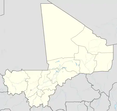
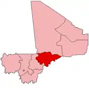
Sangha (sometimes spelled Sanga) is a rural commune in the Cercle of Bandigara in the Mopti Region of Mali. The commune contains around 44 small villages and in the 2009 census had a population of 32,513. The administrative centre (chef-lieu) is the village of Sangha Ogol Leye, one of a cluster of at least 10 small villages at the top of the Bandiagara Escarpment.
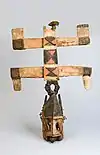
The commune is known as a centre for Dogon traditional religion with many temples and shrines, and as a base for visitors to the local Dogon villages. Toro So is spoken in the village of Sangha.[2] Most of the ethnographic work by Marcel Griaule was carried out among the Dogon of Sangha.
Gallery
 Multicoloured clothing at Sangha market, 1992
 Women with children and cassava roots at Sangha market, 1992
 A toguna at Sangha, 2006
 View of Sangha, 2007
 Multistoried masks during a dance in Sangha, 2007
 Door of the house of the Hogon in Sangha, Ogol quarter, 2007
See also
References
- ↑ Resultats Provisoires RGPH 2009 (Région de Mopti) (PDF) (in French), République de Mali: Institut National de la Statistique.
- ↑ Moran, Steven; Forkel, Robert; Heath, Jeffrey, eds. (2016). "Sangha". dogonlanguages.org. Retrieved 2021-02-22.
External links
- Plan de Sécurité Alimentaire Commune Rurale de Sangha 2006-2010 (PDF) (in French), Commissariat à la Sécurité Alimentaire, République du Mali, USAID-Mali, 2006.
- Map of Mopti and Dogon country, ND 30-6, 1:250,000, University of Texas, US Army, 1954.
![]() Media related to Sangha at Wikimedia Commons
Media related to Sangha at Wikimedia Commons
This article is issued from Wikipedia. The text is licensed under Creative Commons - Attribution - Sharealike. Additional terms may apply for the media files.
