| Schloßberg (Pegnitz) | |
|---|---|
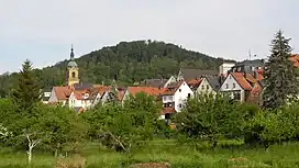 | |
| Highest point | |
| Elevation | 543 m (1,781 ft) |
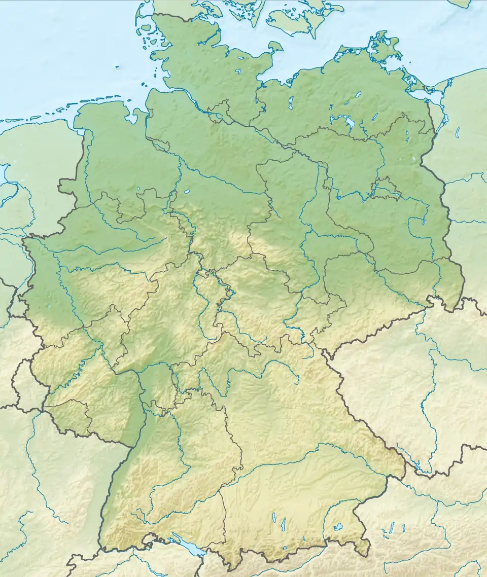
| Coordinates | 49°45′30″N 11°31′59″E / 49.758259°N 11.532941°E |
| Geography | |
References
This article is issued from Wikipedia. The text is licensed under Creative Commons - Attribution - Sharealike. Additional terms may apply for the media files.