Schnellin | |
|---|---|
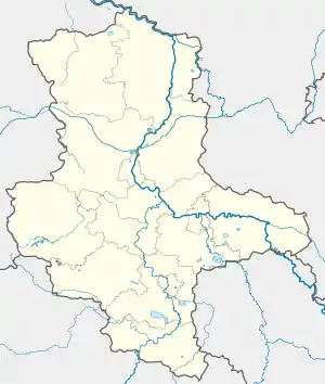
Location of Schnellin | |
 Schnellin  Schnellin | |
| Coordinates: 51°46′N 12°43′E / 51.767°N 12.717°E | |
| Country | Germany |
| State | Saxony-Anhalt |
| District | Wittenberg |
| Town | Bad Schmiedeberg |
| Area | |
| • Total | 7.30 km2 (2.82 sq mi) |
| Elevation | 69 m (226 ft) |
| Population (2006-12-31) | |
| • Total | 318 |
| • Density | 44/km2 (110/sq mi) |
| Time zone | UTC+01:00 (CET) |
| • Summer (DST) | UTC+02:00 (CEST) |
| Postal codes | 06901 |
| Dialling codes | 034927 |
Schnellin is a village and a former municipality in Wittenberg district in Saxony-Anhalt, Germany. Since 1 July 2009, it is part of the town Bad Schmiedeberg.
Geography
Location
Schnellin lies about 17 km southeast of Lutherstadt Wittenberg on the edge of the Düben Heath Nature Park.
Constituent communities
Schnellin has one of these: Merkwitz.
History
Schnellin had its first documentary mention in 1388 under the name Slenyn.
Regular events
The village festival is held yearly at Whitsun weekend.
Economy and transportation
Federal Highway (Bundesstraße) B 182 between Wittenberg and Torgau is about 2 km away.
External links
This article is issued from Wikipedia. The text is licensed under Creative Commons - Attribution - Sharealike. Additional terms may apply for the media files.