Siguniangshan Town | |
|---|---|
| Tibetan transcription(s) | |
| • Tibetan | སྐུ་བླ་རི་བོ་གྲོང་རྡལ། |
| • Wylie transliteration | sku bla ri bo grong rdal |
| • Tibetan pinyin | Gularipo Chongdai |
| Chinese transcription(s) | |
| • Simplified | 四姑娘山镇 |
| • Traditional | 四姑娘山鎮 |
| • Pinyin | Sìgū niángshān Zhèn |
 | |
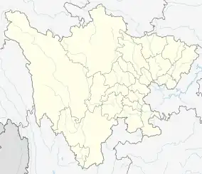
 Siguniangshan Town Location in Sichuan | |
| Coordinates: 30°59′33″N 102°49′49″E / 30.99250°N 102.83028°E | |
| Country | China |
| Province | Sichuan |
| Prefecture | Ngawa |
| County | Xiaojin |
| Area | |
| • Total | 480 km2 (190 sq mi) |
| Elevation | 3,160 m (10,370 ft) |
| Population | 2,893 |
| Time zone | UTC+8 (China Standard) |
| Postal code | 624207 |
| Area code | 0837 |
Siguniangshan Town (Chinese: 四姑娘山镇; pinyin: Sìgūniángshān zhèn; Tibetan: སྐུ་བླ་རི་བོ་གྲོང་རྡལ།, Wylie: sku bla ri bo grong rdal), formerly Rilong Town (Chinese: 日隆镇), is a town in Xiaojin County in the Ngawa Tibetan and Qiang Autonomous Prefecture of Sichuan, China. It is a main base for visiting Mount Siguniang. Rilong lies at roughly 3,160 meters above sea level, and the population are mainly Tibetan.
This article is issued from Wikipedia. The text is licensed under Creative Commons - Attribution - Sharealike. Additional terms may apply for the media files.