| Sunar River Sunar River | |
|---|---|
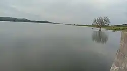
 Near Bankori | |
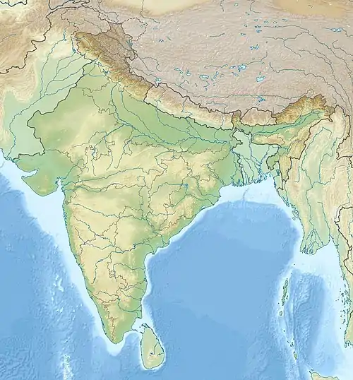
 Indian River Map | |
| Location | |
| Country | |
| State | madhya Pradesh |
| Physical characteristics | |
| Source | |
| • location | Sagar district |
| Mouth | Ken River |
• coordinates | 24°23′20″N 79°55′48″E / 24.3889°N 79.9300°E |
The River Sunar (also called Sonar) is a rain-fed river in the Indian state of Madhya Pradesh.
Sunar river tributry of Ken River ,Sunar river's mouth is in Ken River.
Geography
The Sunar flows in the Bundelkhand region in Sagar District And Damoh district. Its overall length is more than 250 kilometres. It flows south to north like all Vindhyan rivers and Ganges system tributaries of central Indian rivers. It drains an approximately 12,000 square kilometre area of the southern boundary of Bundelkhand.
Sources
Sunar River originates in Sagar District from a small hilly region in kesli block. So its initial source is near Tada village around 80 kilometers from Sagar District.
Tributaries
There are many small tributaries of the Sunar. The most notable are the Dehaar, Bewas, Judi,Gadheri, Kopra And Byarma rivers.
Settlements
Villages and towns situated on the bank of the Sunar are Bankori kesli,Gaurjhamar Gadhakota, Hatta ,Rehhli, Madiyadoh, Narsinghgarh .
Tourist places
- sun temple
- narsinggarh fort
- bhadbhada waterfall
References