Steg | |
|---|---|
 | |
 Flag  Coat of arms | |
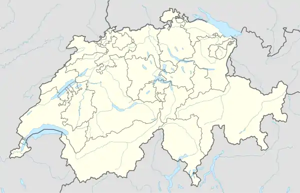
Location of Steg | |
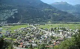
 Steg 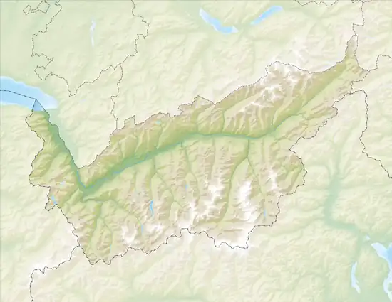 Steg | |
| Coordinates: 46°17′N 7°47′E / 46.283°N 7.783°E | |
| Country | Switzerland |
| Canton | Valais |
| District | Raron |
| Area | |
| • Total | 7.15 km2 (2.76 sq mi) |
| Elevation | 640 m (2,100 ft) |
| Population (December 2002) | |
| • Total | 1,404 |
| • Density | 200/km2 (510/sq mi) |
| Time zone | UTC+01:00 (Central European Time) |
| • Summer (DST) | UTC+02:00 (Central European Summer Time) |
| Postal code(s) | 3940 |
| SFOS number | 6200 |
| Surrounded by | Ferden, Gampel, Hohtenn, Niedergesteln, Turtmann |
| Website | www SFSO statistics |
Steg is a former municipality in the district of Raron in the canton of Valais in Switzerland. Since 1 January 2009, Steg has been part of the enlarged municipality of Steg-Hohtenn.[1]
References
- ↑ Amtliches Gemeindeverzeichnis der Schweiz published by the Swiss Federal Statistical Office (in German) accessed 14 January 2010
External links
- Official website (in German)
- Steg in German, French and Italian in the online Historical Dictionary of Switzerland.
This article is issued from Wikipedia. The text is licensed under Creative Commons - Attribution - Sharealike. Additional terms may apply for the media files.