Steinfeld | |
|---|---|
Location of Steinfeld | |
 Steinfeld 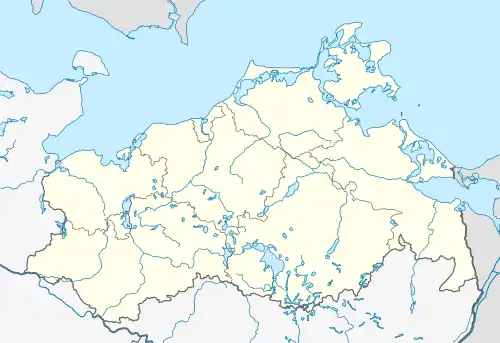 Steinfeld | |
| Coordinates: 54°6′N 12°18′E / 54.100°N 12.300°E | |
| Country | Germany |
| State | Mecklenburg-Vorpommern |
| District | Rostock |
| Municipality | Broderstorf |
| Area | |
| • Total | 13.50 km2 (5.21 sq mi) |
| Elevation | 49 m (161 ft) |
| Population (2011-12-31) | |
| • Total | 557 |
| • Density | 41/km2 (110/sq mi) |
| Time zone | UTC+01:00 (CET) |
| • Summer (DST) | UTC+02:00 (CEST) |
| Postal codes | 18184 |
| Dialling codes | 038202, 038204 |
| Vehicle registration | LRO |
| Website | www.amtcarbaek.de |
Steinfeld is a village and a former municipality in the Rostock district, in Mecklenburg-Vorpommern, Germany. Since 1 January 2013, it is part of the municipality Broderstorf.
References
This article is issued from Wikipedia. The text is licensed under Creative Commons - Attribution - Sharealike. Additional terms may apply for the media files.