Storkau | |
|---|---|
Location of Storkau | |
 Storkau 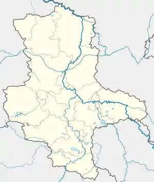 Storkau | |
| Coordinates: 51°14′N 11°55′E / 51.233°N 11.917°E | |
| Country | Germany |
| State | Saxony-Anhalt |
| District | Burgenlandkreis |
| Town | Weißenfels |
| Area | |
| • Total | 7.94 km2 (3.07 sq mi) |
| Elevation | 163 m (535 ft) |
| Population (2009-12-31) | |
| • Total | 574 |
| • Density | 72/km2 (190/sq mi) |
| Time zone | UTC+01:00 (CET) |
| • Summer (DST) | UTC+02:00 (CEST) |
| Postal codes | 06667 |
| Dialling codes | 03443 |
| Vehicle registration | BLK |
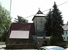
Church of St. Vincenz and Gangolf at Storkau
Storkau is a village between Weißenfels and Querfurt and a former municipality in the Burgenlandkreis district, in Saxony-Anhalt, Germany. Since 1 September 2010, it is part of the town Weißenfels.
References
This article is issued from Wikipedia. The text is licensed under Creative Commons - Attribution - Sharealike. Additional terms may apply for the media files.