Thadikavagilu | |
|---|---|
Village | |
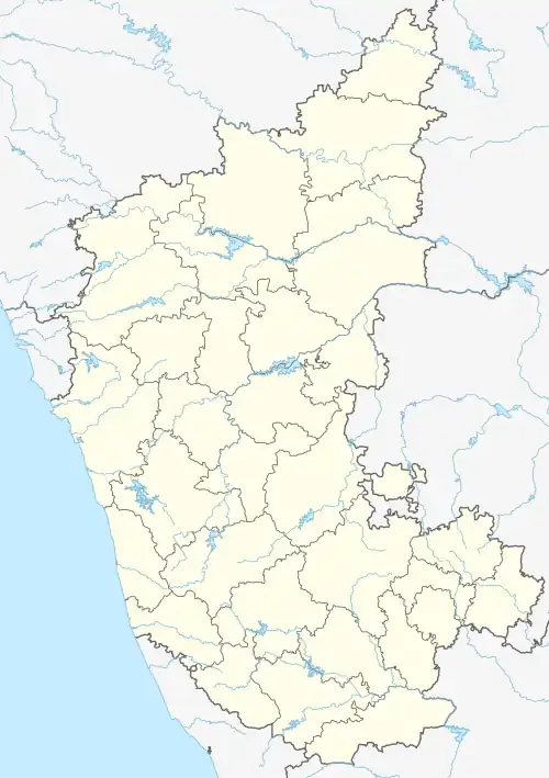
 Thadikavagilu Location in Karnataka, India  Thadikavagilu Thadikavagilu (India)  Thadikavagilu Thadikavagilu (Asia) | |
| Coordinates: 12°48′56″N 77°13′59″E / 12.815508°N 77.233130°E | |
| Country | |
| State | Karnataka |
| District | Ramanagara District |
| Government | |
| • Type | Panchayat raj |
| • Body | Gram panchayat |
| Area | |
| • Total | 493.94 ha (1,220.55 acres) |
| Population (2001) | |
| • Total | 802 |
| • Density | 160/km2 (420/sq mi) |
| Languages | |
| • Official | Kannada |
| Time zone | UTC+5:30 (IST) |
| PIN | 562159 |
| ISO 3166 code | IN-KA |
| Vehicle registration | KA42 |
| Nearest city | Ramanagara, Magadi |
| Literacy | 75% |
| Vidhan Sabha constituency | Magadi |
| Website | karnataka |
Thadikavagilu is a small village situated 16 km (10 mi) away from Ramanagara and 26 km (16 mi) from Magadi in the Ramanagara District of Karnataka State. It comes under the Jalamangala grama panchayat
The local language is Kannada.
Handicrafts are economically important. The main crops are millet, mango, coconut, and legumes. Domestic animals include sheep, goats, cows, and silkworms.
The village was founded c. 1925. The local school is the Government Senior Primary School Thadikavagilu, for grades 1-7.
References
This article is issued from Wikipedia. The text is licensed under Creative Commons - Attribution - Sharealike. Additional terms may apply for the media files.