Thimmanahalli
Kaayi Thimmanahalli | |
|---|---|
Village | |
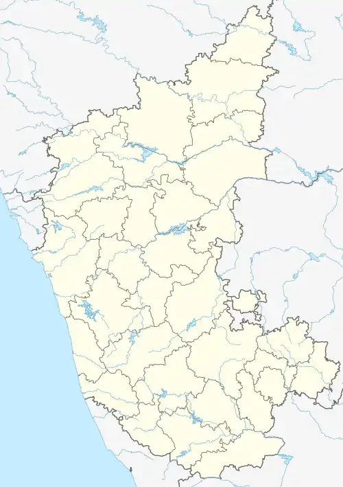
 Thimmanahalli Location in Karnataka, India  Thimmanahalli Thimmanahalli (India) | |
| Coordinates: 13°32′33″N 76°39′41″E / 13.542395°N 76.661300°E | |
| Country | |
| State | Karnataka |
| District | Tumkur |
| Elevation | 822 m (2,697 ft) |
| Population (2001) | |
| • Total | 6,000 |
| Languages | |
| • Official | Kannada |
| Time zone | UTC+5:30 (IST) |
| PIN | 572228 |
| Telephone code | 08133 |
| Vehicle registration | KA-44 and KA-06 |
Thimmanahalli is a village in Chikkanayakanahalli, a town in Tumkur District. Its estimated population is about 5500-6000. Thimmanahalli is also known as Kaayi Thimmanahalli.
History
In 18th century, Thimmarasu Nayaka built fort at the site & established it as a province of the empire. The remnants of Fort could be found adjacent to Bandi-Mane (Bandimane) near Eshwar Temple. The prime crops that are grown in Thimmanahalli are coconut's Araca nut, paddy & ragi. It is famous for coconuts and sometimes referred to as Kaayi Thimmanahalli.
Religion
The residents of Thimmanahalli are primarily Hindu, Muslim, and Christian and the village is home to Temples, a Mosque and a Church.
See also
This article is issued from Wikipedia. The text is licensed under Creative Commons - Attribution - Sharealike. Additional terms may apply for the media files.